Wednesday was incredibly warm away from the coast, and, even without much sunshine, Thursday looks like another unseasonably warm day in Southeastern New England.
THURSDAY
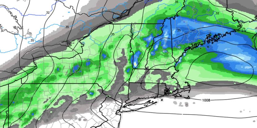
A cold front moving north to south will bring clouds and scattered late-day or evening showers. It does not look like a total washout. The temperature will reach the mid to upper 60s by midday before cooler weather arrives late in the day. Showers are likely Thursday night into early Friday.

FRIDAY
Early clouds will give way to increasing sunshine. It should be another mild day with highs in the mid to upper 50s. Lows will be in the 30s to low 40s under partly cloudy skies at night.
WEEKEND
Saturday should be a pretty nice day. Look for partly to mostly sunny skies. Highs will be in the mid to upper 50s inland, and closer to 50 near the coast with an onshore breeze. Don’t forget to set your clocks ahead an hour before going to bed Saturday night. Daylight Saving Time begins on Sunday. Clouds will gradually increase on Sunday, but it should stay dry through the afternoon. Highs will be near 60 inland, and in the 50s at the coast.
MONDAY AND TUESDAY
There will be plenty of clouds Monday and Tuesday. Showers are possible both days, with a better chance of rain on Tuesday. Highs will be near 50 both days.


