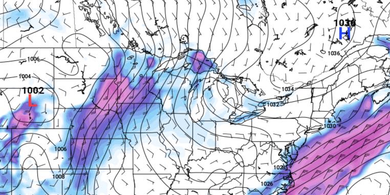
A slow-moving storm system will bring showers Monday night and Tuesday before it moves offshore. The forecast for the mid to late week is for dry and seasonable weather in Southeastern New England. An offshore storm needs to be watched, but it looks like it will stay far enough away that rain does not reach the coast.
TUESDAY
It will be a cloud, damp, and relatively mild start to the day. Rain will move from west to east across Rhode Island and Southeastern Massachusetts by mid to late morning, and the rain will continue into the afternoon. The rain threat ends late in the afternoon or early in the evening. Highs will be in the low to mid 50s.
WEDNESDAY
It will be a cool start on Wednesday. Lows will be in the mid to upper 30s. Partial sunshine returns on Wednesday with highs in the low to mid 50s. An afternoon sea breeze will cool the coast.

THURSDAY-FRIDAY
The weather pattern looks seasonably cool and mainly clear late in the workweek. Highs will be in the low to mid 50s (warmest inland) and lows will be in the 30s.
WEEKEND
Nice, dry weather will likely hold through this weekend. Highs will be near 60 on Saturday, and in the 60s on Sunday. An onshore breeze will likely keep it 5-10° cooler near the coast. It will be mainly clear with lows in the 40s.


