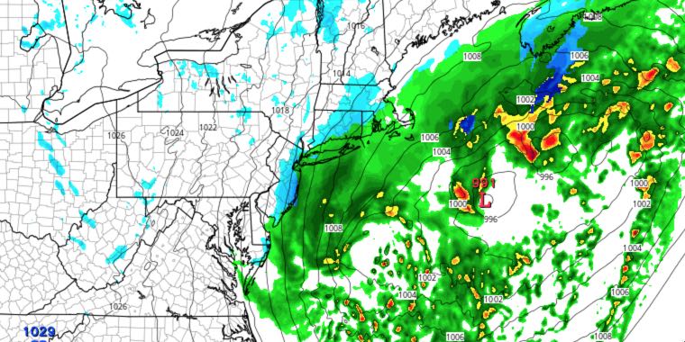
A relatively cool weather pattern will continue through mid-April. A storm system will brush by with rain or snow showers late Saturday before a cool and dry Sunday. It will get a bit milder with highs in the 50s early next week, but showers are likely late Monday through Tuesday. There will be a dry stretch in the mid to late workweek.
SATURDAY
Sun in the morning will give way to afternoon clouds. A few rain and snow showers are possible in the evening as a storm passes well south of Nantucket. Highs on Saturday will be in the mid to upper 40s. Skies will clear Saturday night with lows in the upper 20s to low 30s.
SUNDAY
Expect mostly sunny skies with a fresh northwest breeze. Highs will be in the mid 40s, but it will feel cooler because of the 10-25 mph wind. The temperature will fall into the 30s Sunday night as clouds increase.
MONDAY
There will be plenty of clouds on Monday as a frontal system slowly approaches from the west. Highs will be in the low 50s. Showers are possible in the afternoon and at night. The temperature will hold in the 40s to near 50 Monday night.
TUESDAY
Tuesday looks like the most unsettled day of the next week. Showers are likely on Tuesday. Highs will be in the 50s. Rain will end before dawn on Wednesday. The temperature will fall into the upper 30s to low 40s by early Wednesday morning.
WEDNESDAY THROUGH FRIDAY
A large are of high pressure will likely control the weather in New England through the end of the workweek. Look for mainly clear skies and seasonable temperatures. Lows will be in the 30s, and highs will be in the 50s


