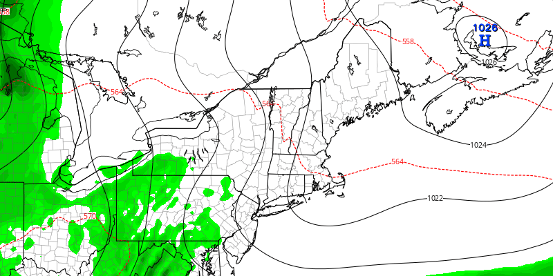
Clouds will clear Tuesday morning, and less humid weather arrives in the middle of the week. It will likely stay dry Tuesday through Thursday before showers are possible again on Friday afternoon/evening. The early outlook for the weekend is for cautious optimism about mainly dry weather, but showers cannot be ruled out as a disturbance lingers over the Northeast into early next week.
TUESDAY
Clouds will clear by mid to late morning, and the afternoon should be mostly sunny and warm, with highs in the mid 70s to low 80s. It will gradually turn less humid during the day. Tuesday night looks mainly clear and mild, but not humid. Lows will be in the mid 50s to around 60.
WEDNESDAY
Expect a mostly sunny day with highs in the low to mid 70s. Wednesday night looks clear with lows in the low to mid 50s.
THURSDAY
There will be a blend of sun and clouds on Thursday. It may be a bit on the cool side, with highs in the 60s near the coast, and low 70s inland.
FRIDAY
Clouds will increase as it gets muggier on Friday. Scattered showers are possible late Friday. Highs will be in the low to mid 70s.
WEEKEND
Saturday and Sunday both looks partly cloudy with pop-up afternoon showers possible. Highs will be in the mid 70s to low 80s on Saturday, and 70s on Sunday. Both days should be mainly dry, but neither looks like it will feature full sunshine.


