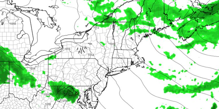
Showers and thunderstorms on Wednesday signify a transition to a cooler weather pattern late in the week that may last through the middle of month. The outlook for the weekend is improving, with showers possible Saturday night into early Sunday.
WEDNESDAY
Partly to mostly cloudy, scattered showers and thunderstorms possible from midday through the afternoon. Any t-storms could contain frequent lightning, hail, and strong winds. Highs in the low 70s. Clearing, breezy, cooler Wednesday night. Lows in the 50s.
THURSDAY
Mostly sunny to partly cloudy, breezy, and cool for June with highs in the upper 60s to low 70s. Mainly clear and comfortably cool Thursday night. Lows in the 50s.
FRIDAY
Mostly sunny, not as windy, pleasant. Highs in the low 70s. Overall, a beauty! Clear and cool Friday night, with lows in the upper 40s to low 50s.
WEEKEND
Sun Saturday morning will give way to afternoon clouds. Highs will be in the mid 70s. Showers are possible Saturday night and Sunday morning, but it does not look like widespread heavy rain. Sunday should become partly sunny with highs in the mid 70s again.


