Southeastern New England will see some rain in the middle of the week, but most likely not enough to ease the dry conditions that have developed in the past couple of months. Localized heavy downpours are possible Tuesday night and Wednesday morning, but it is unlikely to be a widespread soaking rain.
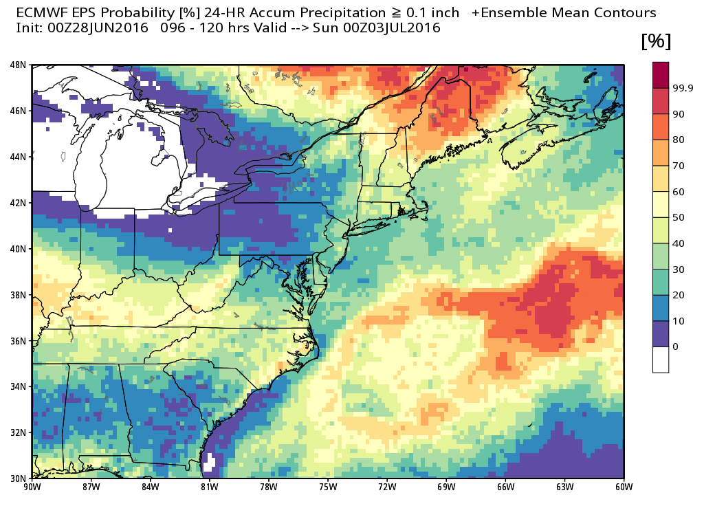
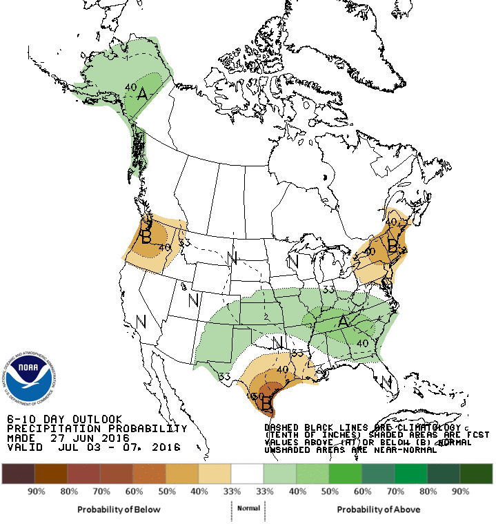
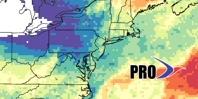
The rain threat diminishes by Wednesday afternoon, and it looks decent through Friday. Lower dew points will make it comfortable on Thursday through most of Friday before muggy weather returns. I am cautiously optimistic that Saturday will be mainly dry. We’ll be getting the squeeze play from a system south of Southern New England and another one approaching from the west. As you can see in the images, there is about a 50% chance of 0.1″ of rain on Saturday.
The front will move through by late Saturday, and the rest of the 4th of July weekend looks great, with lower humidity and seasonable warmth in the low to mid 80s inland, and upper 70s to low 80s at the coast.
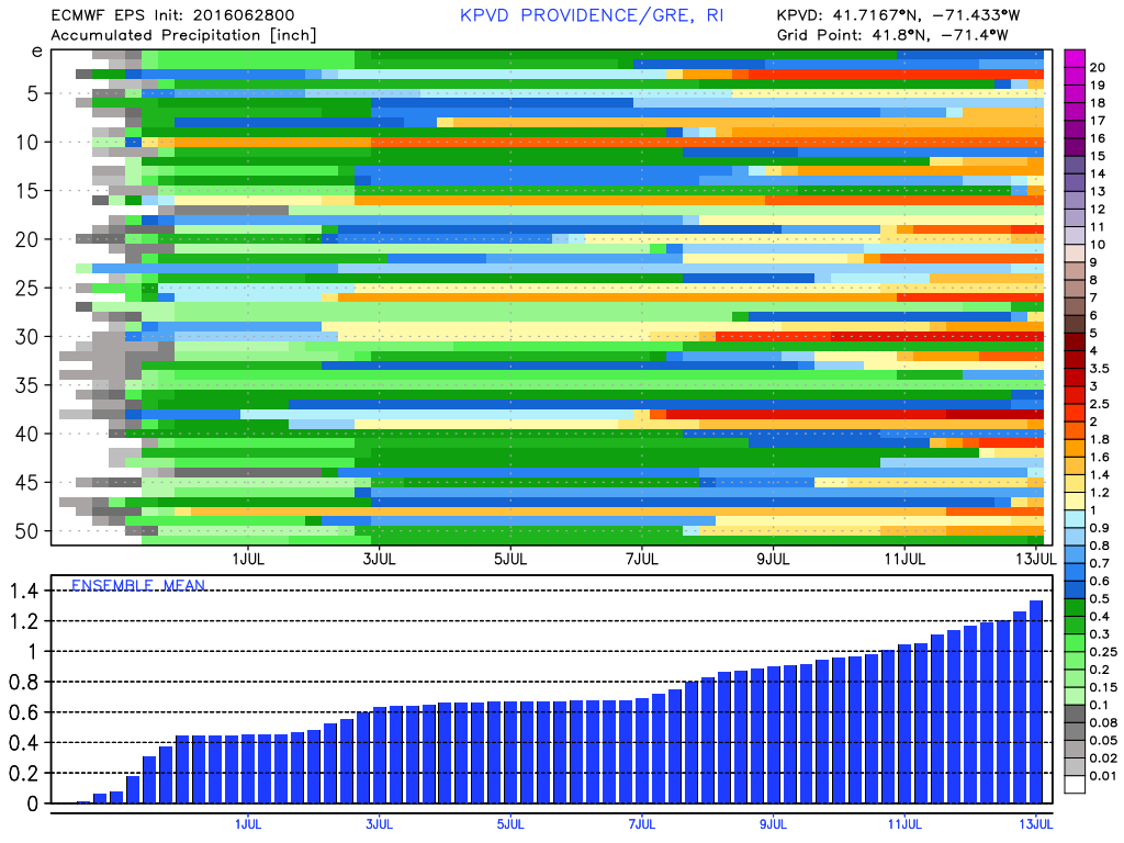
The weather looks relatively quiet through at least the middle of next week. It will likely be dry, and you can see by the EPS precipitation graph below. It may get briefly hot/humid in the midweek if a cold front stays far enough north and a west-southwest wind develops. The pattern looks a little unsettled heading into the second weekend of July. While it does not look very rainy, showers and t-storms are possible after July 7. It will feel like mid-summer, with highs in the 80s and lows in the 60s. It seems the comfortable June nights in the upper 40s to mid 50s will give way to sultry July nights – more typical of the season.