The weekend begins with decent weather on Saturday. It will be a cool start to the day, but there should be enough sunshine to get the temperature into the mid to upper 70s during the afternoon. Patchy fog may roll into the coast late in the day and Saturday night. Lows will be in the low to mid 60s – not as cool as the past few nights.
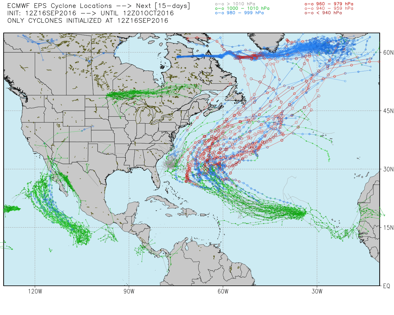
Sunday looks muggy and mostly cloudy, but we are not expecting steady rain. That’s great news for Patriots fans who have tickets to the home opener. Highs will be in the mid to upper 70s, and it will be muggy. Showers will arrive Sunday night, and Monday is a borderline washout. 0.5-1″ of rain is possible on Monday as the remains of Tropical Storm Julia get drawn north into a cold front. Highs will be in the upper 60s to low 70s on Monday.

The rest of next workweek should be dry and seasonably warm. Highs may reach the low 80s on Tuesday with increasing sunshine. Expect partly to mostly sunny weather Wednesday and Thursday. Highs will be in the mid to upper 70s – a few degrees warmer than normal for late September. Fall arrives at 10:21 AM EDT on Thursday.
The long-range outlook for next weekend is for mainly dry and cooler weather. The consensus forecast for Tropical Storm Karl keeps it well off the Eastern Seaboard, but it could threaten Bermuda next week.