September 21st Update

A cold front swinging through New England Friday night into early Saturday will bring gusty southwest winds and scattered showers. The front moves offshore early Saturday (7-9 a.m.) and the wind shifts to the northwest bringing in less humid air for the rest of the weekend.
Saturday afternoon looks partly cloudy breezy and seasonably cool. Highs will be in the mid 60s to low 70s. Fall arrives at 9:54 p.m. Saturday, and it will feel like it overnight into early Sunday as the temperature drops into the upper 40s to low 50s by dawn. Expect dry and cool conditions on Sunday. Highs will be in the 60s again. Dry weather continues on Monday. Once again, there will be a cool start to the day and highs in the 60s.
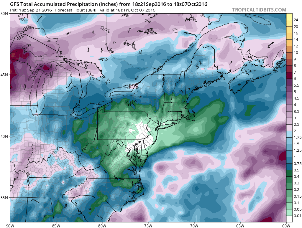
A frontal system brings rain in the middle of the week. There is a decent chance of at least 0.5″ of rain from Tuesday afternoon into Wednesday, and more showers are possible Wednesday night into early Thursday. By the time it dries out on Thursday, a big chunk of CT, RI, and MA may get 1″ of rain in the gauge. Highs will be in the 60s on Tuesday, and it could reach the 70s on Wednesday with a southwest wind.

50% or greater chance of at least 0.5″ rain Tuesday PM into Wednesday AM
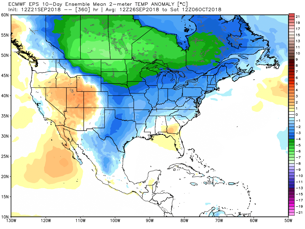
A generally unsettled weather pattern continues into the last weekend of September. It’s early, but I would not be surprised if there were showers around again at some point between Friday and Sunday the 30th. It was a very warm start to the month, but the last 10 days of September will average near normal or slightly cool. Have a great weekend!

A chill arrives for the end of September


