Hermine has dominated September’s weather in Southeastern New England. That bothersome storm is finally moving away from New England, and a stretch of relatively warm weather is ahead for the weekend and first half of next week.
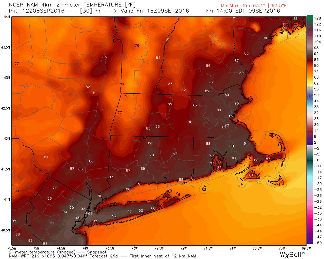
A passing shower or t-storm is possible Thursday night as a front moves through New England. Muggy, but not oppressive, humidity arrives on Friday. Highs will be near 90° inland, and in the 80s at the coast. If you can get away, it will be a nice beach day.
Saturday looks partly sunny, warm, and very humid. Highs will be in the 80s. It will be warm and muggy Saturday night. A round of showers/storms is possible as a cold front passes late at night or early Sunday morning. It will turn less humid, but still be warm on Sunday. Look for a mostly sunny, breezy afternoon, with highs in the 80s.
Monday and Tuesday should be great days. Highs will be in the upper 70s to low 80s, and lows will be in the 50s to low 60s. That’s a little warm for mid-September. You can expect plenty of sun and a light breeze both days.
Dry weather is ahead for most of Wednesday as it turns a bit muggy. A cold front could trigger showers/storms late Wednesday into early Thursday. The early outlook for late next week is for cooler and dry weather – highs in the 70s, lows in the 50s…how it should feel at this time of the year.
The tropics are quiet. The National Hurricane Center is watching two disturbance in the Atlantic Ocean, but neither will intensify into a tropical cyclone in the next couple of days. Hurricane activity in the Atlantic Basin usually peaks around September 10th, so to have no named storms at this time of the year is a little unusual.


