Very warm weather continues in Southeastern New England through the midweek. Highs will be in the upper 70s to low 80s on Wednesday with a blend of clouds and sun. A stray morning shower is possible in Eastern Massachusetts. It turns cooler on Thursday with a few showers possible in the afternoon. Highs will be in the 60s.
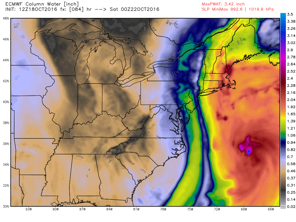
It looks like a storm system in the Atlantic Ocean will send some rain into Southeastern New England on Friday. If it comes together just right, a decent soaking will happen in at least part of RI and SE MA. It’s still a little early for the details, but you can expect some rain on Friday with highs in the 60s.
Drier and cooler weather moves in for the weekend. Highs may not reach 60 for several days. Saturday looks partly to mostly cloudy, blustery, and cool, with highs between 56-60. Sunday will start in the 30s to low 40s, and probably not get above 60 in the afternoon with partly sunny skies. There will be a gusty westerly breeze.
A few rain showers are possible Sunday night as a fast-moving system passes by. More relatively cool weather is likely early next week. Monday and Tuesday will be blustery and chilly, with lows in the 30s and highs in the 50s. A fresh northwest breeze will make it feel even cooler.


