Southern New England has been mired in a dreary weather pattern since the middle of next week. There will be slow improvement early this week. It will be seasonably warm by the end of the workweek, and fair weather is likely during the Columbus Day weekend – provided Hurricane Matthew stays away!
Clouds may break up a bit on Monday afternoon, but stray showers cannot be ruled out. The best chance of rain is in CT and W MA, and there is a better chance of dry weather in RI and SE MA. Highs will be in the upper 60s. Mostly cloudy skies are likely on Tuesday. Highs will be in the mid 60s, with the outside chance of a passing shower.
Wednesday through Friday should be mainly clear with a warming trend. Highs will range from the mid 60s on Wednesday to near 70 by Friday afternoon. Lows will be in the 40s to low 50s, milder by late in the week.
The early outlook for Columbus Day weekend is for dry weather with it turning cooler by Monday. This part of the forecast is highly contingent on Matthew’s track off the Eastern Seaboard.
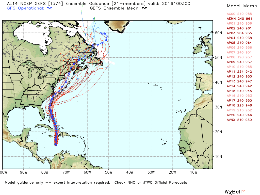
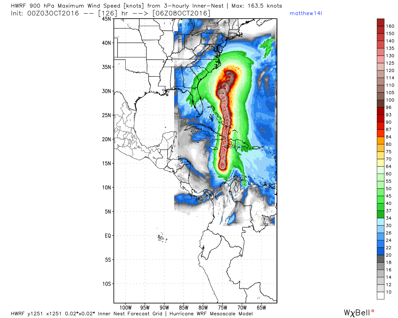
Hurricane Matthew should move north over the next few days. The storm will bring strong winds and rain to Jamaica, eastern Cuba, and Haiti before entering the central Bahamas in the middle of the week.
Matthew will be east of Florida late in the workweek, and it is still uncertain how close the storm get to the Southeast Coast. Right now, it looks like it will be far enough offshore that the brunt of the storm is over the Atlantic Ocean, but everyone living along the east coast of Florida to North Carolina needs to watch this storm closely.
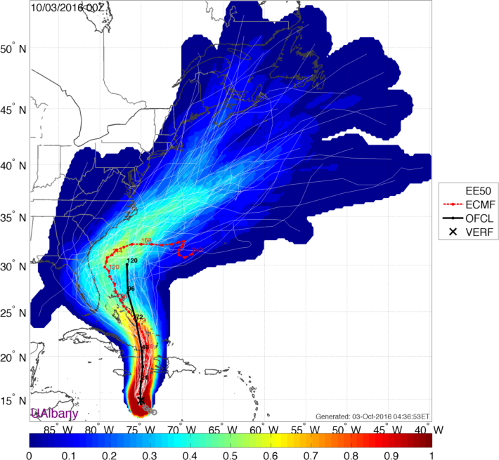
Matthew may meander off the Southeastern US coast for a few days into the weekend before slowly drifting out to sea. The winds in the upper atmosphere that help to steer storms will be very weak near Matthew, and that’s why the forecast track is uncertain after the middle of this week. It is still possible the storm gets drawn north, closer to the Southeastern New England coast late in the holiday weekend or sometime next week. We should know a lot more about the long-range forecast for Matthew by the middle of the week.