Snow was changing to rain at the coast of RI and SE MA as of 9 AM on Saturday, and the rain snow line will move inland during the morning. Steady precipitation ends between 1-3 pm. It will be damp and raw in the afternoon, with temperatures slightly above freezing inland, and near 40 a the coast. Snow totals between 2-4″ are likely south and east of Providence, with 4-7″ of snow in the NW part of RI.
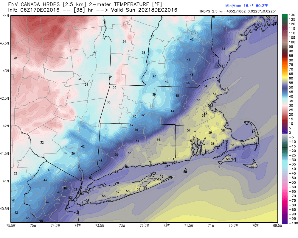
The temperature may fall below freezing in spots Saturday night. Watch out for some slick spots on the roads. A southerly wind will send the temperature climbing through the 40s into the 50s on Sunday ahead of a cold front that will bring rain showers through RI and SE MA between midday and late in the afternoon.
The temperature will fall very quickly late in the day into the evening, and it will only take a few hours for it get below freezing again. A flash freeze is possible. Watch out for black ice.
Quiet weather is expected in the early to middle part of the week. It will be cold on Monday, with highs in the low 30s. Seasonably cool conditions are likely on Tuesday as it gets closer to 40. Wednesday looks nice with highs in the mid 40s. A weak storm system brings chilly rain showers late Thursday.
At this point, the odds of any more snow by Christmas are low in RI and SE MA.


