The current prevailing storm track is not favorable for all-snow events in Southeastern New England. In fact, this week, there is not likely to be much snow at all in RI and SE MA with three separate systems passing through the Northeast.
Clouds increase Monday afternoon, and chilly rain showers arrive in the evening. A few showers are likely overnight, but heavy rain is not expected. The temperature will be in the 40s overnight.
Rain showers end early Tuesday morning, and the afternoon looks mild with highs in the 50s. Wednesday will be dry and seasonable. Expect highs in the upper 30s to low 40s with some sunshine.
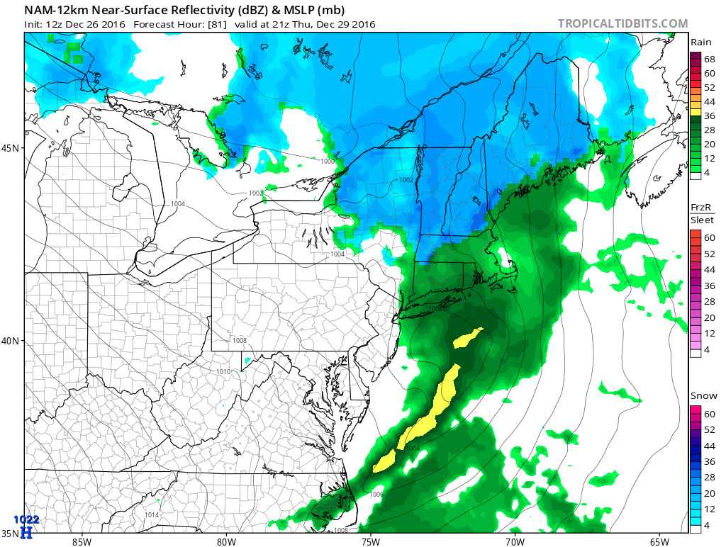
A strong storm approaches on Thursday, but the track will likely be close enough to the coast to bring chilly rain instead of snow to RI and SE MA. Highs will be in the upper 30s to low 40s on Thursday, with snow/rain going developing around midday and changing to all rain with little, if any, accumulation. Rain is likely Thursday night.
Dry weather returns for Friday and Saturday. It will be near 40 on Friday and colder on Saturday with highs in the low to mid 30s. Both days should be partly to mostly sunny. The weather will likely be dry and cold to ring in the New Year. Lows will be in the 20s.
A weak system nears on New Year’s Day. At this point, it looks like a mostly cloudy start to 2017, with light rain or snow showers possible in the afternoon.


