A weak storm system will bring a period of light snow to RI and SE MA Friday morning. The snow threat begins between 2-4 am and ends between 9 am – 12 pm from west to east. The best chance of more than 2″ of snow is along the immediate south coast, Cape Cod and Islands. Those areas may see 3-4″ of snow. The rest of RI and SE MA will likely get a coating to 2″ of snow.
Cold weather over the past 24 hours has set the stage for any snow that falls to stick to untreated surfaces. While it will not be a heavy snow event, there may be some slick roads for the Friday morning commute. Friday afternoon will be dry and cold, with highs near 30.
The cold weather sticks around through the weekend into early next week, and another storm will make a run at RI and SE MA Saturday afternoon and night. The trend today was for that storm to track a little closer to the coast, increasing the odds of accumulating snow in RI and SE MA – especially on Cape Cod and the islands. The Saturday storm will be larger and more intense than the Friday system, so a brush by from that storm could yield several inches of snow.
At this point, the odds of an inch of snow in RI are about 50/50, and closer to 75% in SE MA. The odds of 3″ of snow in RI are near 30%, and closer to 50% in SE MA. If the storm tracks closer than currently projected, a moderate (3-6″) snow becomes likely. A track slightly farther out to sea would lead to just snow showers in RI and interior SE MA, with a minor snow accumulation in far E MA.
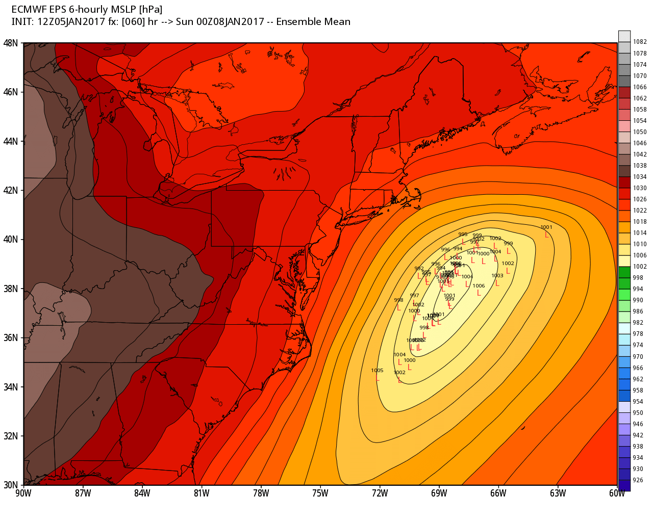
The timing of the Saturday storm is from early in the afternoon through the evening, ending around or shortly after midnight. Again, the track of the storm is still somewhat uncertain, and it’s possible that there will be little impact if stays far enough offshore. It’s also possible that there will be a widespread plowable event with hazardous travel Saturday PM. One thing is for certain, it will be plenty cold for all snow. Highs will be in the 20s both Saturday and Sunday. The low will be in the teens on Sunday morning.
It gets even colder (especially if there is snowpack) Monday morning. Lows between 0-10° are likely in RI and SE MA. It will be coldest inland. It will stay in the 20s Monday afternoon. A storm system in the middle of next week will probably bring rain as the temperature warms through the 40s.


