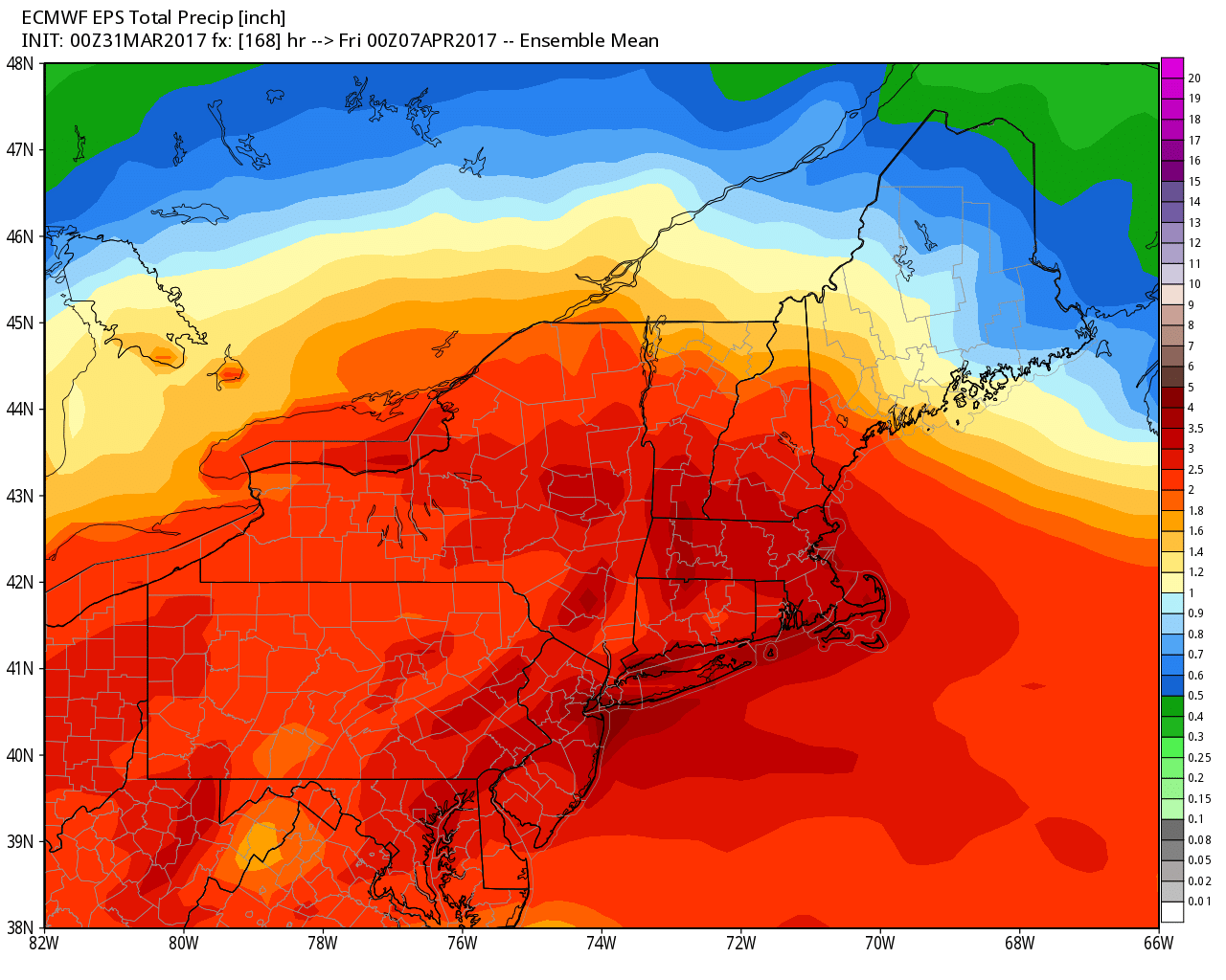
We are wrapping up a cold March with a dreary rain/sleet storm that will last into April Fool’s Day. Expect rain to be heavy at times Friday night and Saturday morning before the storm winds down Saturday afternoon. It may turn cold enough by midday for rain to change to sleet/snow away from the coast before it ends. No accumulation is expected. The storm, however, will likely bring 1-3″ of rain to RI and SE MA. It will not make it out of the 30s on Saturday, and the temperature falls below freezing Saturday night with clearing skies.
Sunday will be better, with some sunshine and highs in the 50s. Monday looks fine, too. Expect sun and clouds, with highs in the low to mid 50s.
Another storm brings a soaking on Tuesday. Rain may develop before dawn, and it lasts through the day, with heavy downpours possible. Another 1-2″ of rain may fall in 12 hours on Tuesday. Highs will be in the 40s.
Wednesday looks dry and cool. Expect highs in the 40s. More showers are possible on Thursday, bit it does not look like another soaker. Highs will be in the 40s.
The early outlook for next weekend is for dry and seasonable weather.


