An unsettled weather pattern continues in early April as two more soaking rainstorms are likely in the next week. There will be a break in the action Sunday and Monday before rain arrives early Tuesday and continues through the day. Dry weather returns Wednesday and most of Thursday. Another storm with soaking rain potential arrives Thursday night and ends early Friday.
Expect temperatures in the 50s with some sun both Monday and Tuesday. Lows will be in the 30s. The wind will not be as strong as it was on Saturday.
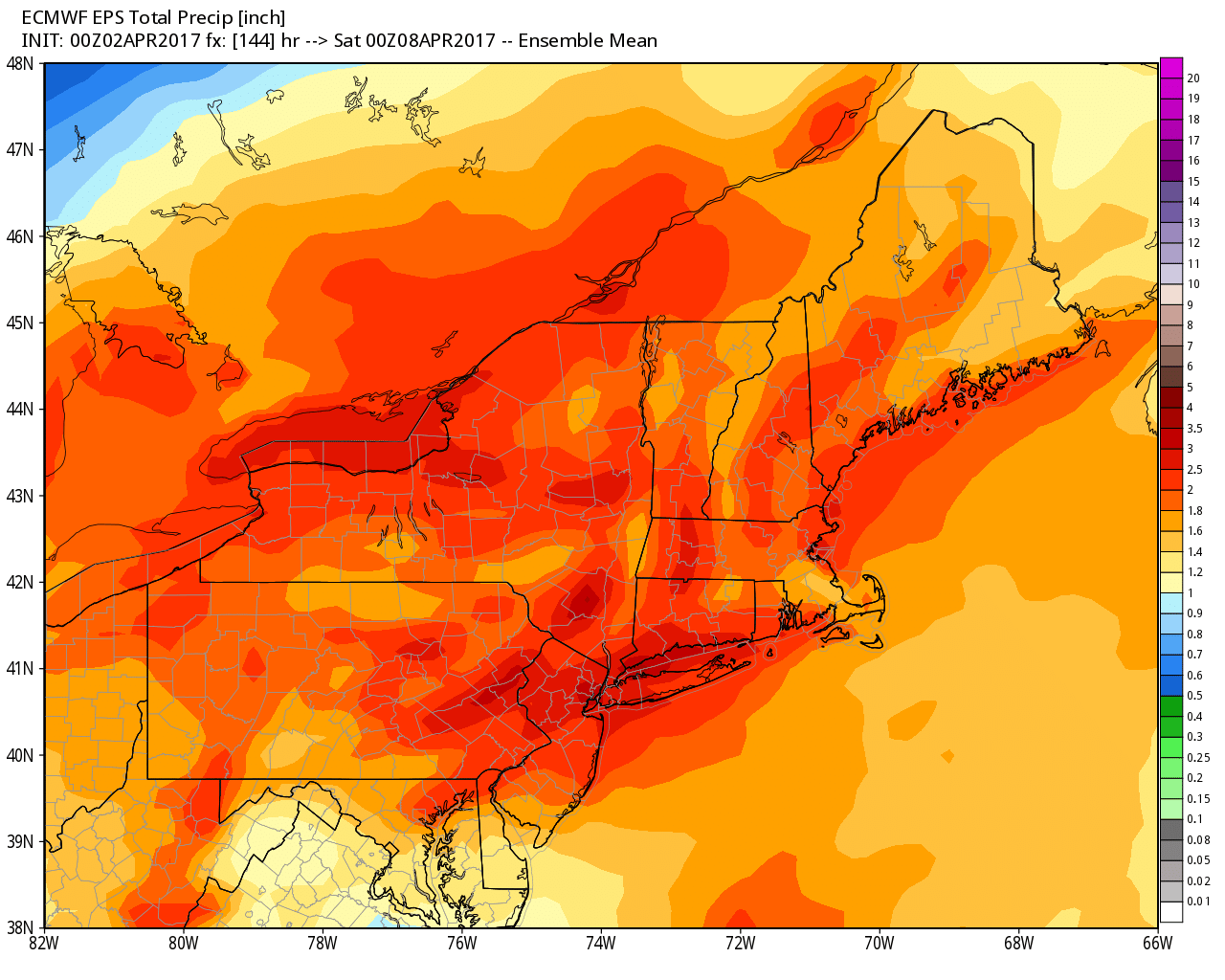
Tuesday looks soggy, with highs in the 40s. 0.6-1.2″ of rain is possible during the day. There will be a gusty southeasterly breeze. Rain ends early Tuesday evening.
Wednesday should be a pretty nice day. A northwest wind will diminish during the day, and highs will be 55-60 with sun and clouds. Clouds quickly return on Thursday with an increasing south-southeasterly wind. Highs will be in the 40s. The best chance of rain is late in the day and at night. Thunderstorms cannot be ruled out, and 1-2″ of rain is possible.
Friday looks mostly cloudy and mainly dry, with highs in the low 50s. There will still be some clouds on Saturday as it stays a bit cool. Brighter and warmer weather is likely late in the weekend into early the following week. Highs may reach the 60s.


