Florence has weakened to a 50 mph tropical storm, but the worst of the storm is yet to come for some in southeastern North Carolina. A plume of tropical rain will remain nearly stationary over the Wilmington, NC area on Saturday, and it has the potential to bring 2+ feet of rain to areas that have already seen flooding from the first thrust of rain in the past two days. Life-threatening flash floods are possible in the areas shaded in brown on the precipitation map above.
Closer to home, the weather will stay quiet and mild to warm for this time of the year. Did you know that the normal low temperature in Southern New England is in the low to mid 50s next week. High humidity is keeping it much warmer than normal at night lately. For the most part, that continues next week. Some of us are still running the air conditioner just to keep it comfortable and not so damp in are house at night. The weather looks pretty good Saturday through Monday. It will range from the mid 70s to low 80s during the day, and should be in the upper 50s to low 60s at night. Clouds and fog will develop at night then slowly burn off during the day to partly cloudy skies before the cycle resumes.


Look at the low temperatures on this graphic…just one or two days near normal in the next week. The rest are warmer than normal.
What’s left of Florence will bring downpours through New England on Tuesday into Tuesday night. The rainfall totals will likely range from 0.5-2.0″. There is a low chance of some areas getting 2-4″ of rain depending on the exact track and strength of Florence’s remnants. It looks like a showery or soggy day with a tropical feel. Dry weather returns Wednesday and Thursday. A line of showers and/or t-storms will move through late Friday, and next weekend should feel a lot more like early fall – which is only fitting since it begins next Saturday, September 22 at 9:54 p.m.

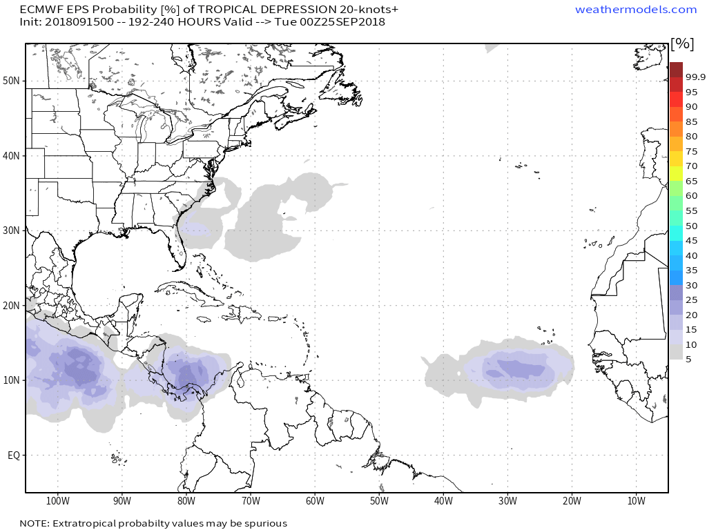
Lastly, there are still two tropical systems in the Atlantic Ocean – Helene and Joyce. They are both non-factors for the United States. Isaac dissipated as it moved through the Caribbean. The European computer model predicts a better chance of quiet weather in the tropics next weekend, although we always need to watch that area off the Southeastern United States coast at this time of the year.