September is wrapping up with a cool and unsettled day, but the month was warm and dry in Southern New England. The early outlook is for more of the same in October.
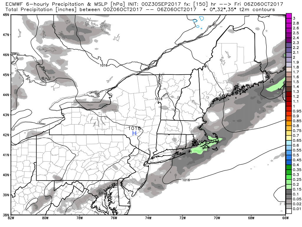
Heavy downpours on Saturday may offset a very dry stretch over the last two weeks for parts of Southeastern New England, but the rain will likely not be widespread enough for everyone in the area to receive a good soaking. It was a good setup for waterspouts, and there were a couple reported near Long Island and off the Eastern Massachusetts coast. The strong disturbance moves away Saturday night, and is followed by beautiful weather for Sunday.
Expect another relatively warm and dry week to start October. Highs may get back to near 80 by Wed-Thu before a front moves through and brings a temporary cool-down for the start of the Columbus Day weekend. The long-range projection has warm returning early in the following week. It does not look like there will be widespread rain through most or all the Columbus Day weekend, but there is a decent chance for some rain around October 10th.
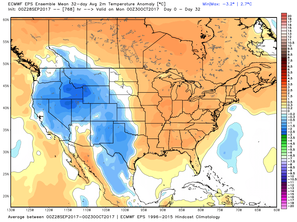
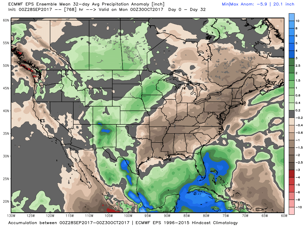
The European weeklies outlook has more warm and dry weather in most of the Eastern United States through October. The model has been consistent for the last few runs, and the first 10 days is quite likely to be well above normal without much rain. So, at the 1/3 mark, we may already be well on our way to another warm/dry month.