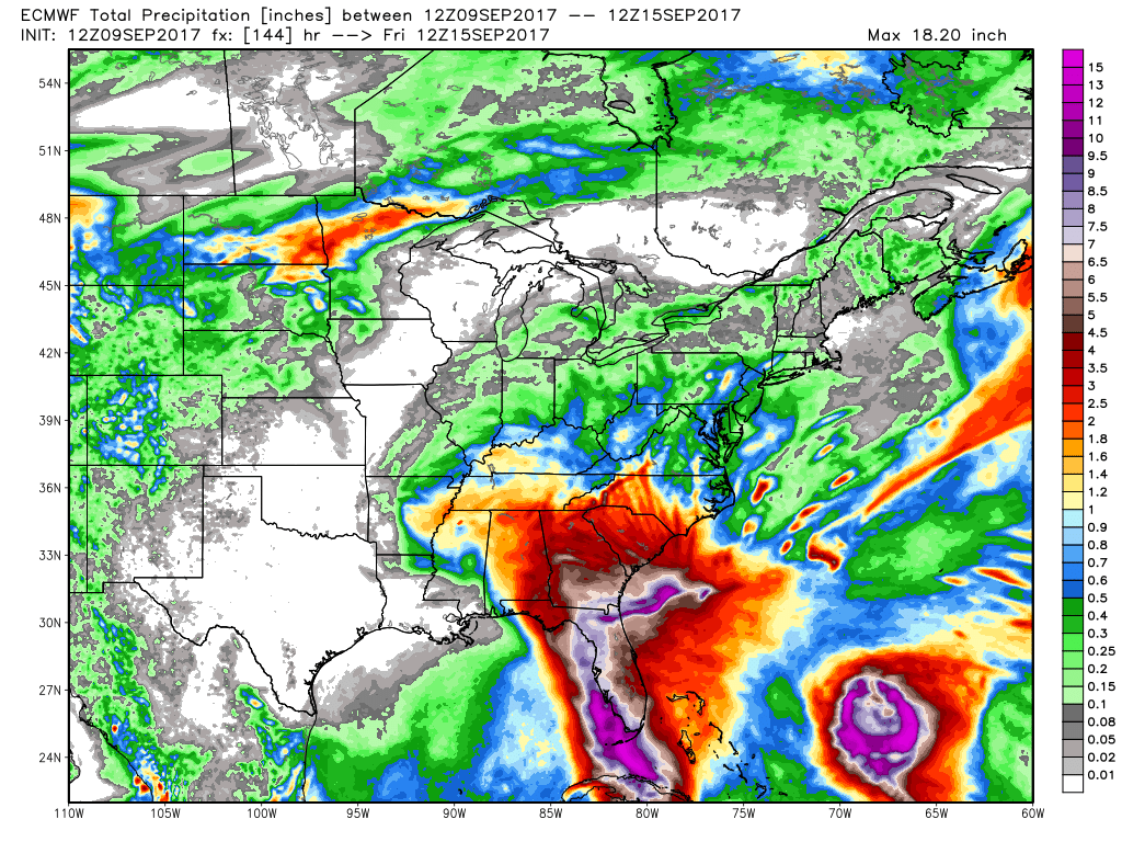
I am not going to write too much about Irma because it is being covered extensively by many national media outlets with reporters on the scene that can offer lots of details. I will say this, however…there is a small chance that this storm does not become a major natural disaster for Florida. It will be very bad in the Florida Keys as the storm is almost certain to make a direct hit on Key West. If the storm swings far enough into the Gulf of Mexico instead of hugging the FL coast, that would spare at least the southern half of Florida from the worst of the storms wrath. I’m talking about areas from Naples to the south. This storm looks very bad for the Port Charlotte area all the way up the coast. Tampa Bay could be one of the hardest hit areas. Let’s just hope that it does not ramp all the way back up to Cat 4 or 5 strength in the next 24-30 hours. Most of the damage in Florida will likely come from storm surge flooding and wind. The system’s steady movement will prevent the kind of historic rainfall totals that Texas saw from Harvey. Some spots may get 8-12″ of rain…enough for flooding, but not catastrophic.
Our weather will stay very quiet for several more days. What’s left of Irma may bring showers late in the workweek, but it does not look like we’ll get soaking rain in Southeastern New England. It will get warmer in the midweek, with highs above 80° – especially inland. The threat of Irma-related showers is Thursday into Friday.
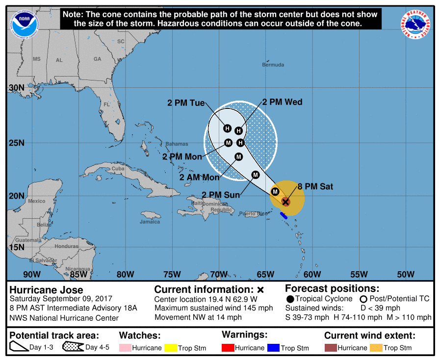
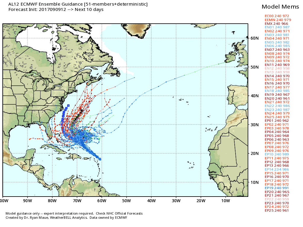
Hurricane Jose is actually stronger than Irma now. It has winds of 145 mph, and is no threat to land now. It’s farther north than Irma was a few days ago, and, thankfully, it’s heading away from the northern Caribbean. There will not be much of a steering current in the jet stream to influence Jose’s movement through late this week, so it will likely meander around east of the Bahamas. In the long-range, it’s possible the storm could be drawn close to the Eastern Seaboard in the early to middle part of the following week – around Sep 18-21. Right now, I would certainly not call it a threat to SNE, but it’s something to keep an eye one.