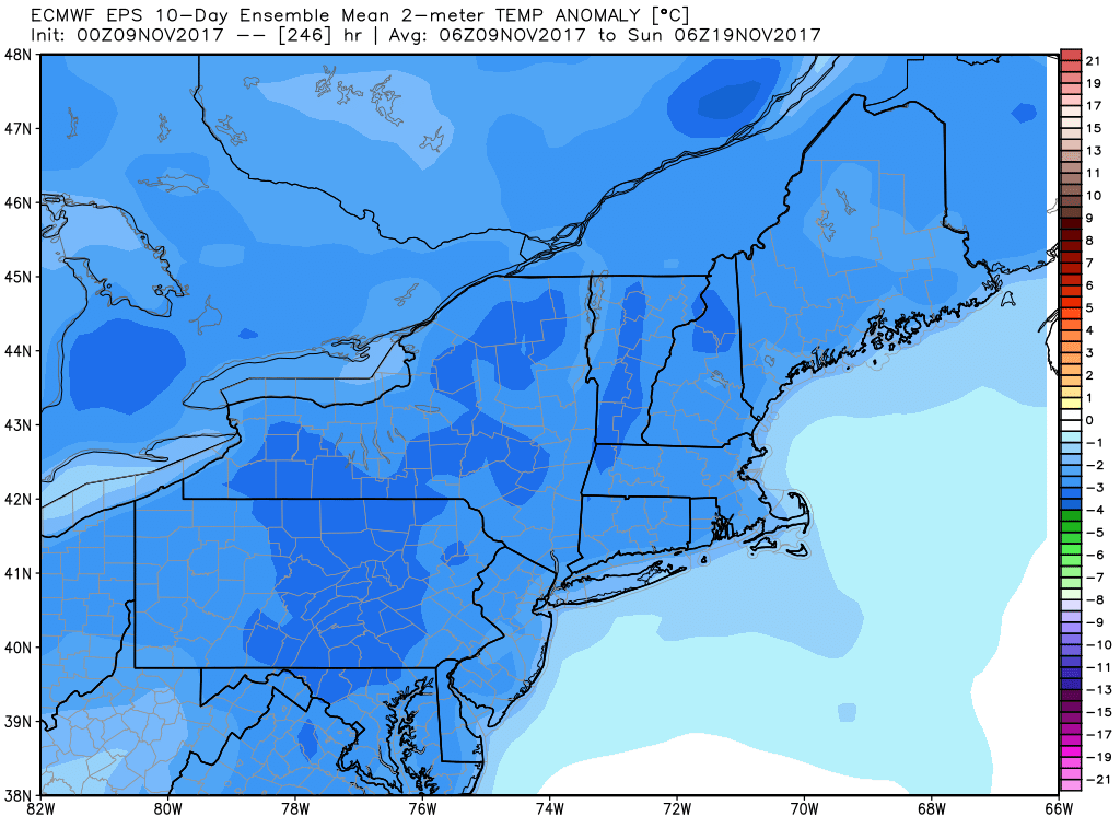
Thursday was the coldest morning of the season in most of Rhode Island and Southeastern Massachusetts. It’s just the tip of the iceberg, as an Arctic blast is ready to roar in on a strong northwesterly wind on Friday. The Arctic air may be preceded by a brief rain shower Thursday night as the front passes by. The wind shifts to the northwest around dawn on Friday, and cold air spills in through the day and night.

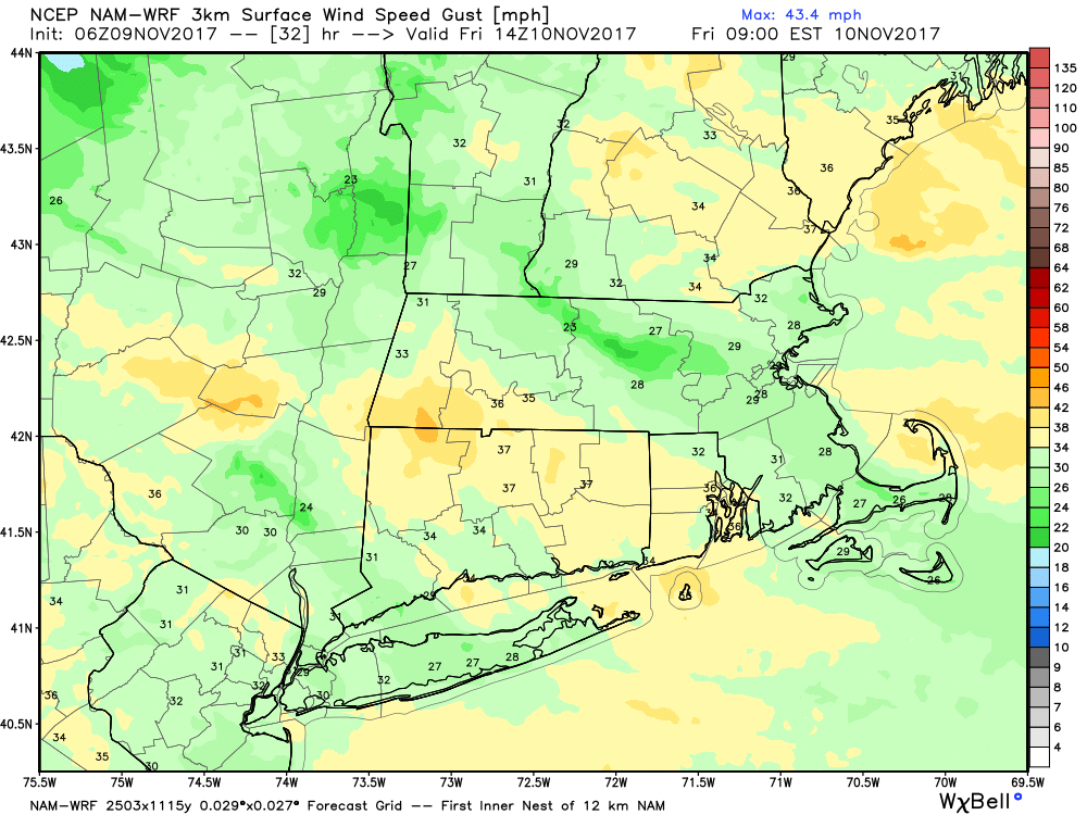
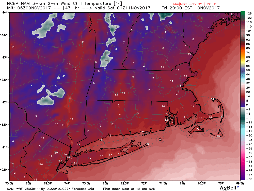
30-40 mph wind gusts are likely Friday morning through the midday as the bitter air arrives. Expect temperatures in the low-mid 30s Friday midday, with wind chills in the teens to low 20s. The temperature dips into the 20s Friday night as wind chills fall to the upper single digits to low teens. Bundle up!
Saturday looks bright and cold, with less wind, but still a noticeable breeze. Highs will be near 40. It stays cold Saturday night, with lows in the 20s. Clouds arrive on Sunday with highs in the mid 40s.
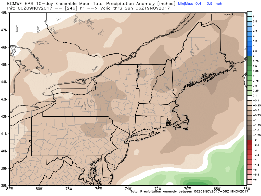
Showers are possible Monday, especially in the afternoon and at night. The storm system is trending farther south. It’s unlikely that there will be enough cold air for snow, but it’s something to watch. The more likely scenario is just a lower-impact system that may not bring much precipitation. The rest of next workweek looks dry and seasonable or a bit cool.