There will be a couple of close calls with wintry weather in the next five days, but none of the disturbances are likely to bring snow for a white Christmas in Rhode Island or Southeastern Massachusetts. Having said that, there is still a chance of a white Christmas if the Sunday night into Monday storm moves a little farther east than currently projected.
Cold air continues to filter in Wednesday night into Thursday under clear skies. Lows in the low-mid 20s are likely on Thursday. Expect sunshine with highs in the low 30s on Thursday. It will stay chilly Thursday night as clouds gradually arrive.
A disturbance moving through on Friday brings the chance of light snow or freezing rain to inland areas by late in the day. There is a better chance of rain showers near the Shoreline. Any wintry precipitation will likely change to rain Friday night in all of Rhode Island. Rain showers continue in Southeastern Massachusetts where there will likely not be enough cold air for any wintry precipitation from this storm system.

Showers continue during the day on Saturday, and temperatures will rise to near 50 along the coast, while staying closer to 40 inland. Rain will likely end Saturday evening. Sunday looks mostly cloudy, seasonable and dry during the day. Expect highs in the low 40s.

Another storm moves by Christmas Eve into Monday morning. Right now, the track is far enough west that it would be mainly or all rain in RI and SE MA, but the track is uncertain. If the storm moves farther east, then there will be more available cold air, and some part of the storm could be snow. It’s still a 4-5 day forecast, and it’s tough to get into specifics with this much uncertainty.
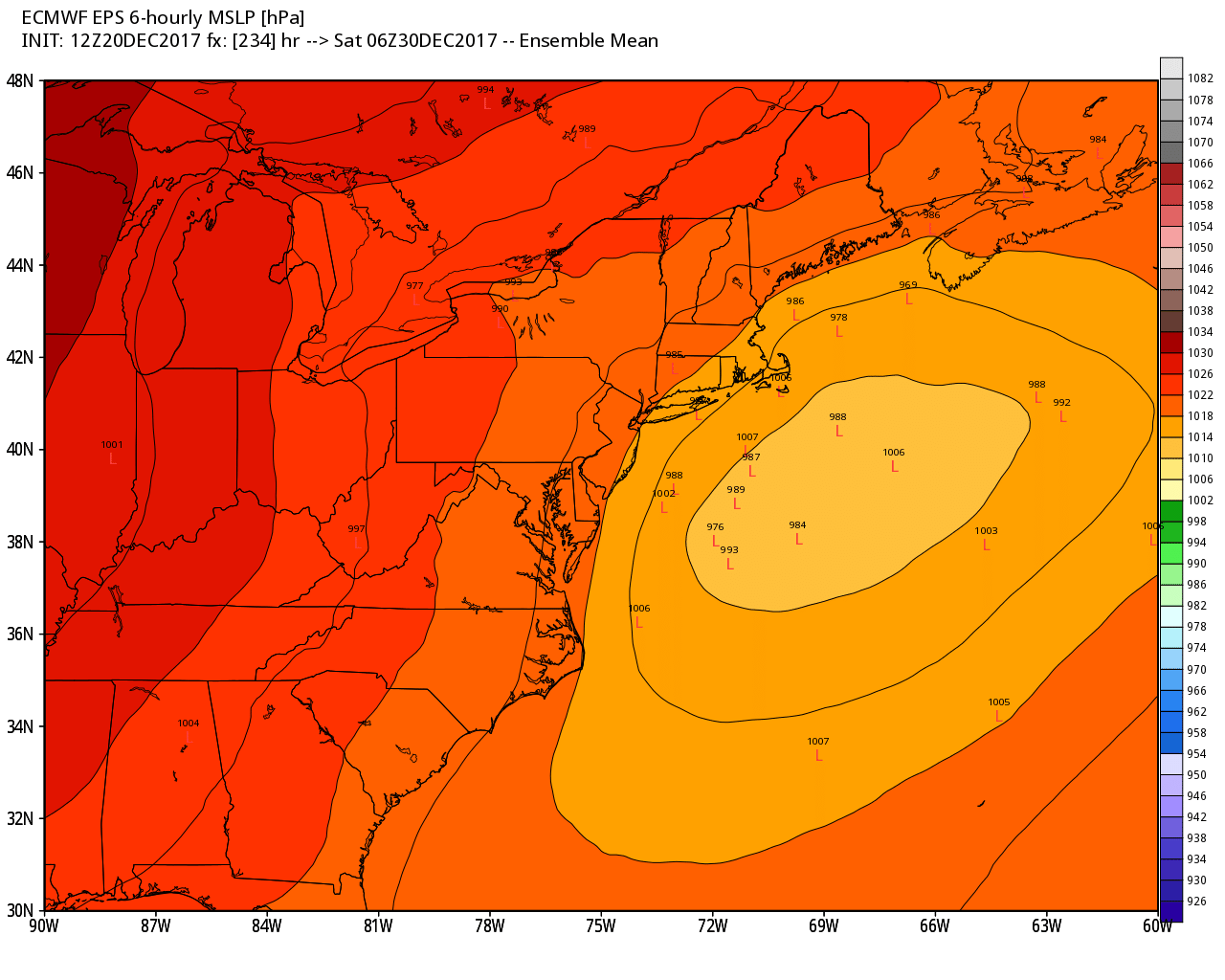
After the storm passes, we are heading straight into the ice box for the end of 2017 and start of the new year. The temperature may stay below freezing in most places for a week or more starting on Tuesday. It looks cold and dry to start, but some snow is likely by the end of next week, and possibly again after the weekend. It’s a pattern we’ve watched all month, and it’s on track to be bitter and potentially snowy for a while.