Last night’s snow forecast was an absolute debacle. It was a not-so-subtle reminder that weather forecasting still has a long way to go before it’s anything close to an exact science! The analogy that I used with my daughter was the following: When you used to go to Sea World and see the Shamu show, you could sit in the “splash zone” where you may get wet. We were definitely sitting in the zone for this storm, but I (and everyone else) thought that we may just get a few drops of water on us. Instead, we got drenched. Dang killer whale! Incredibly, while the storm brought much more snow than expected to CT, RI and E MA, it did not bring any snow to New Hampshire, an area that looked like it would get a coating to an inch.
Moving on, and we need to do that quickly in this business, there are more snow chances in the coming days. A disturbance moving through Northern New England Wednesday night may bring a light snow (coating) to far northern RI/CT. The rest of CT, RI, and SE MA look dry.

Another disturbance ventures through New England Thursday night into Friday. That one has a better chance to bring 1-3″ of snow. The temperature is important with that system, as it may start as rain, especially near the coast. The best chance of 2-3″ of snow is inland.
Saturday looks cold and dry. Yet another system arrives Sunday into early next week. Early indications are that it could be drawn out from Sunday into Monday. While the precipitation may not be terribly heavy, the long duration of the event could lead to several inches of snow, with the steadiest snow likely Sunday night into Monday. You may remember, there was a snow storm after the Super Bowl when the Patriots beat the Seahawks three years ago. Here’s hoping Pats fans are celebrating another Lombardi trophy with some fresh snow on the ground.
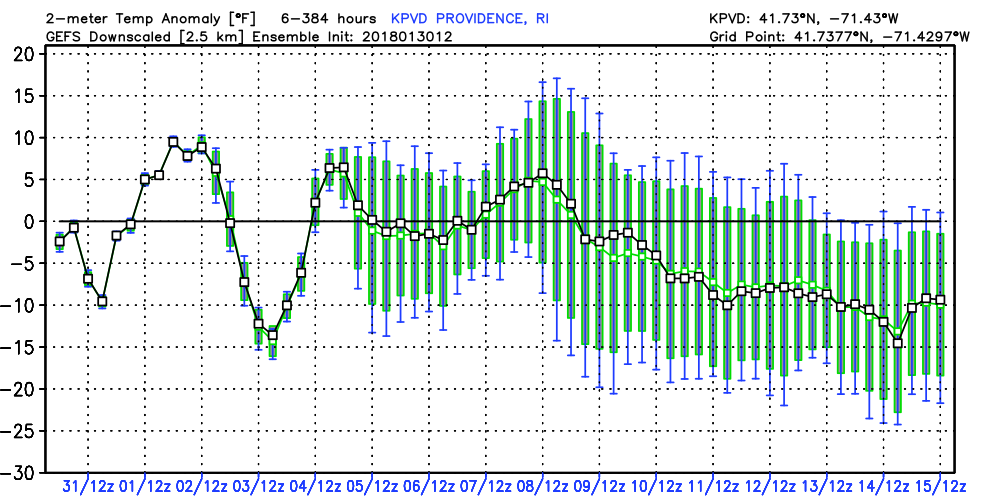
The overall pattern continues to look wintry into mid-February. I don’t see any extended thaw, and wintry precipitation events will be bothersome through at least Valentine’s Day. The most recent GEFS and EPS mean snow forecasts are for 7-8″ in the next two weeks. That may not seem like much, but for an ensemble mean, that’s a pretty good indicator that winter is coming back after a few mild weeks.