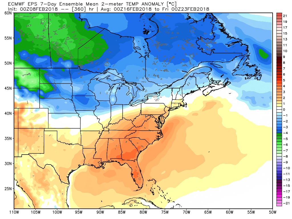
Ever since the brutal cold snap ended in the second week of January, the temperature has run above normal in Southeastern New England. The same general trend will likely continue through the middle of February. There are some signs that it will turn colder, and possibly snowier, by late in the month, but that’s not right around the corner. In the near-term, look for some clouds and possibly snow showers/flurries by late Friday afternoon and evening as milder air returns for the weekend. Highs will be in the 30s on Friday after a cold start in the teens to low 20s.

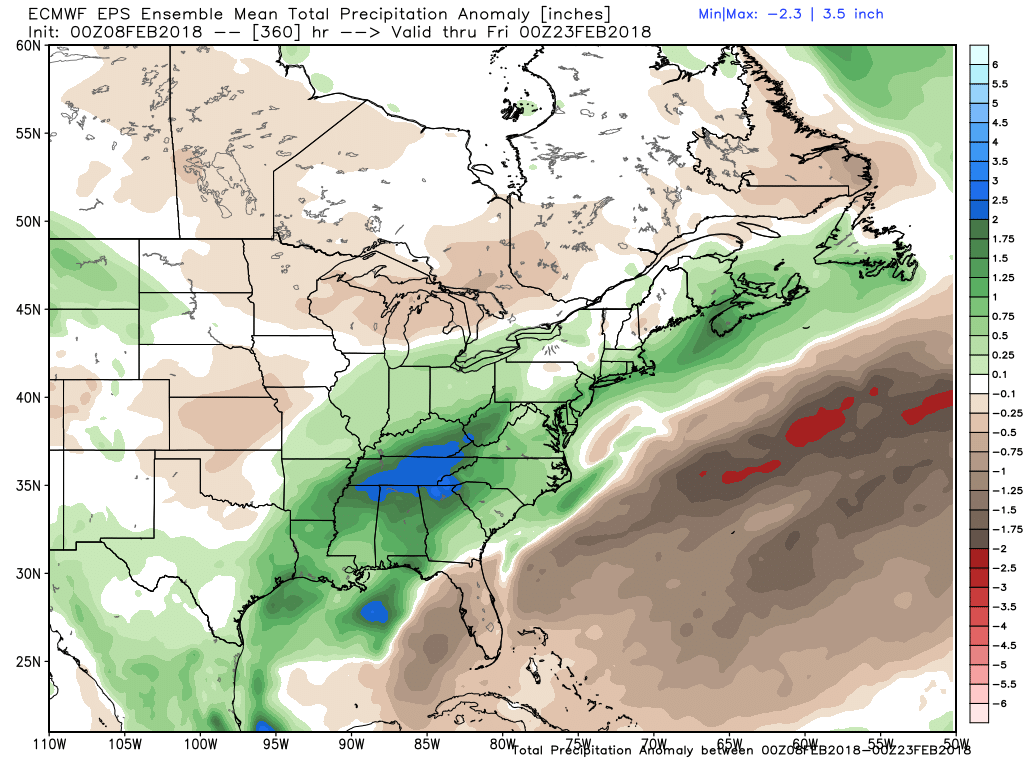
Highs will be in the 40s this weekend, but do not expect to see much, if any, sunshine. Saturday looks like the pick of the weekend, although it may be nothing special. There will be plenty of clouds, and it may be damp with occasional mist and drizzle possible – especially at the coast. The temperature will slowly climb into the low to mid 40s. The cold ocean/bay may also lead to patchy fog. A couple of storm systems roll through during the end of the weekend. Look for showers Saturday night into Sunday morning, and another round of rain Sunday afternoon and night. Temperatures will be in the 40s, with no threat of snow/ice. The rain may be heavy at times, and another 1″+ rain event is possible. That would be the fourth such system in the past month.
It looks seasonably mild and dry Monday and Tuesday. That means highs in the 40s on Monday and upper 30s to low 40s on Tuesday. A few showers are possible on Valentine’s Day, but it does not look like a big storm. More relatively mild weather is ahead for the end of next workweek.

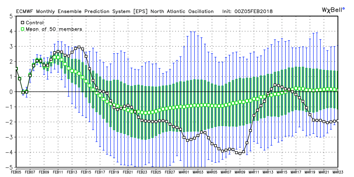
There are signs that the North Atlantic Oscillation will turn negative later this month into early March. That weather pattern favors cold, and sometimes snow, in the Northeast. We’ll see how it plays out.
I’m targeting the Presidents’ Day weekend for our next best chance at measurable snow/ice in Southern New England. Until then, the generally mild stretch of winter continues.