February 1st Update
Rain to snow early Friday; Sunday-Monday system looks like mainly rain
Rain will change to snow late Thursday night as the temperature falls from the 30s to the 20s around sunrise. While there will not be more than a coating to 2″ in most of the area, it could have a big impact on the morning commute. A flash-freeze is possible with quickly falling temps and a minor snow accumulation. The best chance of seeing more than 2″ of snow is in the higher terrain of NW RI and CT. A few 3-4″ amounts are possible if the changeover happens sooner than expected. It looks like rain will change to snow around 4-6 AM in most of RI and SE MA. It will change first in NW RI and last in SE MA. Any snow ends by 9-10 am, and it will become partly cloudy and windy. Expect highs in the 20s to low 30s, with wind chills in the teens.
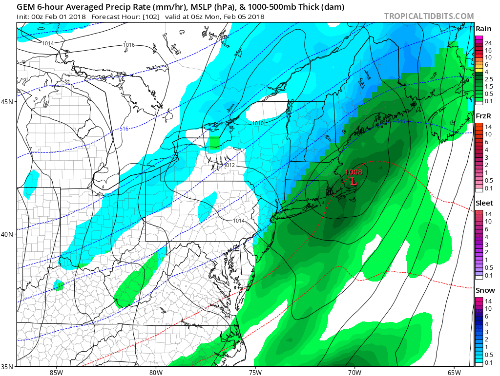
Quiet and cold weather is likely Friday night through Saturday night. Expect lows in the teens, and highs in the upper 20s to low 30s. Another storm system approaches on Sunday. It looks like there will be enough warm air moving into Southern New England for it to be a mainly rain event. Light snow/mix is possible during the day, but I do not expect much, if any, accumulation. When the heavier precipitation arrives at night, it’s more likely that it will be rain. The storm may track over Southern New England, which is not favorable for snow.


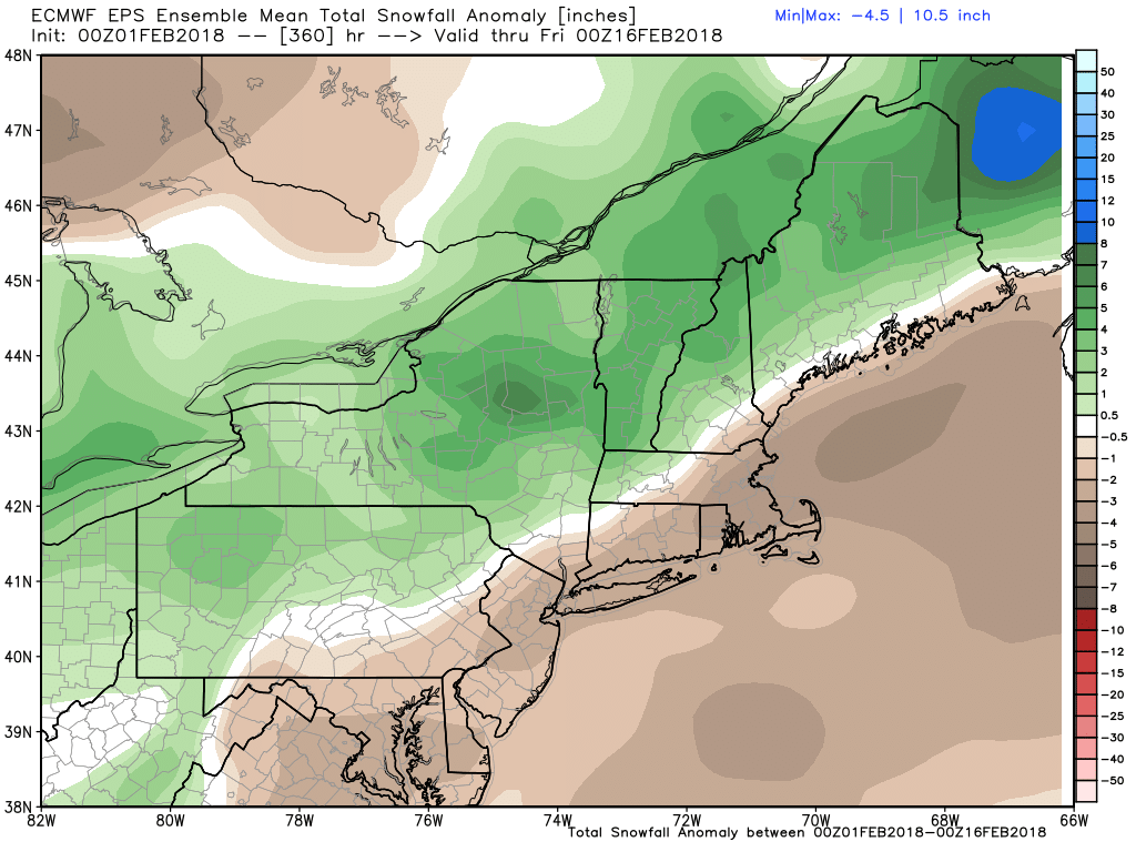
The EPS Ensemble Mean snowfall forecast for the next couple of weeks shows above normal snow in Northern New England, and below normal snow in Southeastern New England. That illustrates a storm track that is too close to the coast for snow events in RI and most of MA/CT.
Another storm in the middle of next week looks like it will track over or west of Southern New England. Once again, that favors rain in CT, MA, RI, and snow/ice/mix in Northern New England.