Southern New England should enjoy more sunshine on Tuesday than it did on Monday. It will also be a bit milder, with most spots reaching the low to mid 50s. Dry weather continues Wednesday. Expect a blend of sun and clouds with highs ranging from the low 50s near the coast to the upper 50s inland. A weak disturbance passes by Wednesday night into early Thursday. A passing shower is possible.
It will likely stay dry through the day on Thursday. Look for another mild day, with highs in the 50s inland, and upper 40s at the coast as a southeast breeze develops. A storm system moving into the Mid-Atlantic will redevelop south of Long Island Thursday night into Friday. We have seen this storm coming for a long time. The forecast is coming into better focus, and it looks like the storm will bring rain, snow, strong winds, and coastal flooding to Southern New England.
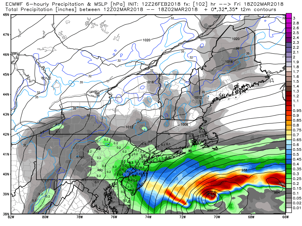
New information suggests that the storm will drift out to sea a little faster than previously thought, and that will limit the impacts to Friday into early Saturday – at the latest. It’s possible the steadiest precipitation from the storm will end by midday Friday. Right now, it looks like rain for most of Southern New England at the start of the storm Thursday night. The exception may be in the highest terrain of Massachusetts.
As the storm moves away on Friday, the rain may change to snow from north to south. I’m still not comfortable getting into a very specific forecast because of the uncertainty with where the secondary storm will develop, how strong it will be, and how quickly it will move away from the coast. The potential exists for heavy, wet snow all the way south to Boston, Providence, and most of Connecticut, but a more likely scenario is for mainly rain in those areas. There is a high chance of mainly rain near the coast of RI and in SE MA.
Coastal flooding is a concern for any eastern facing shores Friday into the weekend. Tides will be astronomically high because of the full moon, and a persistent northeast wind will likely lead to at least minor-moderate coastal flooding during high tide cycles for 1-2 days.
Expect seasonable conditions Saturday afternoon and Sunday. Highs will be in the low-mid 40s with a fresh northeast breeze, especially on Saturday. Both days look mainly dry, with the best chance of precipitation in Eastern Massachusetts on Saturday. The weather will likely stay quiet and cool into early next week.
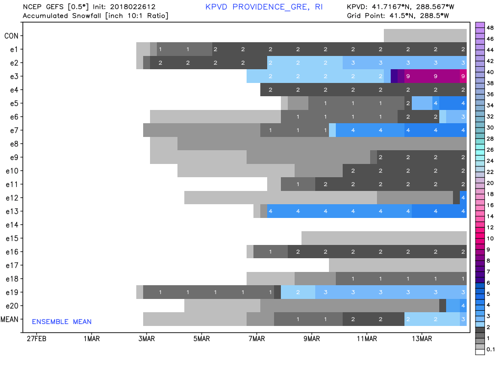
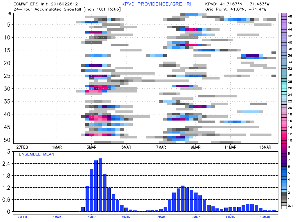
Another storm threatens the Northeast with rain/snow in the middle of next week. The setup is not much different from this Friday’s storm, and the potential exists for rain and/or snow and strong winds. The weather pattern features slow-moving weather systems, and that makes a higher-confidence forecast for a storm in the 8-10 day range.


