A midweek storm system will bring a messy mix of snow, sleet, and rain to Southern New England. The storm should arrive after the morning commute, but it may cause issues with the evening commute as snow accumulates in most spots before changing to sleet and then rain. The best chance of few inches of snow is away from the coast.
Expect dry skies from Monday afternoon through Tuesday night. It will be seasonable early in the week, with afternoon temperatures both Monday and Tuesday in the mid to upper 30s. Both days will feature clouds and sunshine.
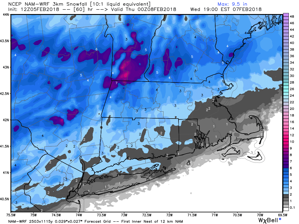
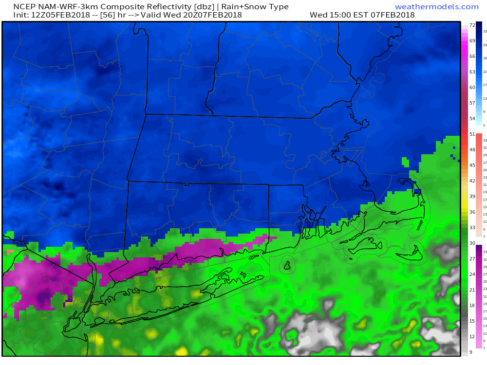
Clouds thicken Wednesday morning. Snow develops between 11 am – 1 pm, and it continues through the mid-afternoon. A change to mix then rain is likely from south to north by late in the day. Totals near the coast will be a thick coating to about 1.5″. In the I-95 corridor, it looks like 1-2″ of snow before a change to mix/rain. North and west of I-95, you can expect 1.5-3″ of snow before the change takes place. These are not big totals, but will likely have some impact on travel. The snow may come down at a decent clip for a while, as it often does in these “front-end thump” setups.

The mix/rain that follows the snow on Wednesday may be enough to wash away the snow at the coast, but it will likely stay at least slushy near I-95 and NW. Precipitation ends Wednesday night, and the temperature falls through the 30s. It may get to freezing or colder by early Thursday, leading to renewed slick spots.
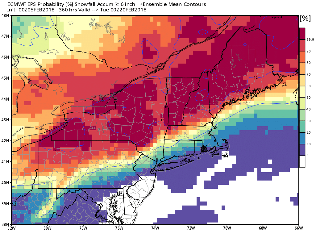
Looking ahead, a couple of disturbances approach New England into the weekend. The first is relatively weak, but could lead to light snow/mix Friday night. The second storm on Sunday looks stronger, but the track seems to favor mainly rain. Overall, the pattern is not favorable for a lot of snow in the I-95 corridor and coast in the next two weeks.