As you probably know, today (February 6) is the 40th anniversary of the Blizzard of ’78. The “big one” left a big imprint on me as a five-year old. It’s one of my first memories, and one of my most important weather memories. I remember my father waking me up in the middle of the night to see the plow truck stuck on our street. The next morning, I remember the snow piles on the side of the driveway being bigger than I was. While we saw a brief snow squall today, there’s certainly no big storm to commemorate the anniversary!
The storm that is heading our way tomorrow will start as snow, but a fairly quick change to sleet, freezing rain, and eventually rain is likely in most of Southeastern New England. Look for snow to begin between 9-11 am from west to east through CT into RI and SE MA. The snow will stick and may come down at a decent clip for a couple of hours. An inch or two of snow is possible before 12-3 pm when the precipitation changes to sleet and freezing rain from south to north. The changeover will happen as soon as noon at the immediate coast, and it may take until 3 pm to reach northern RI.
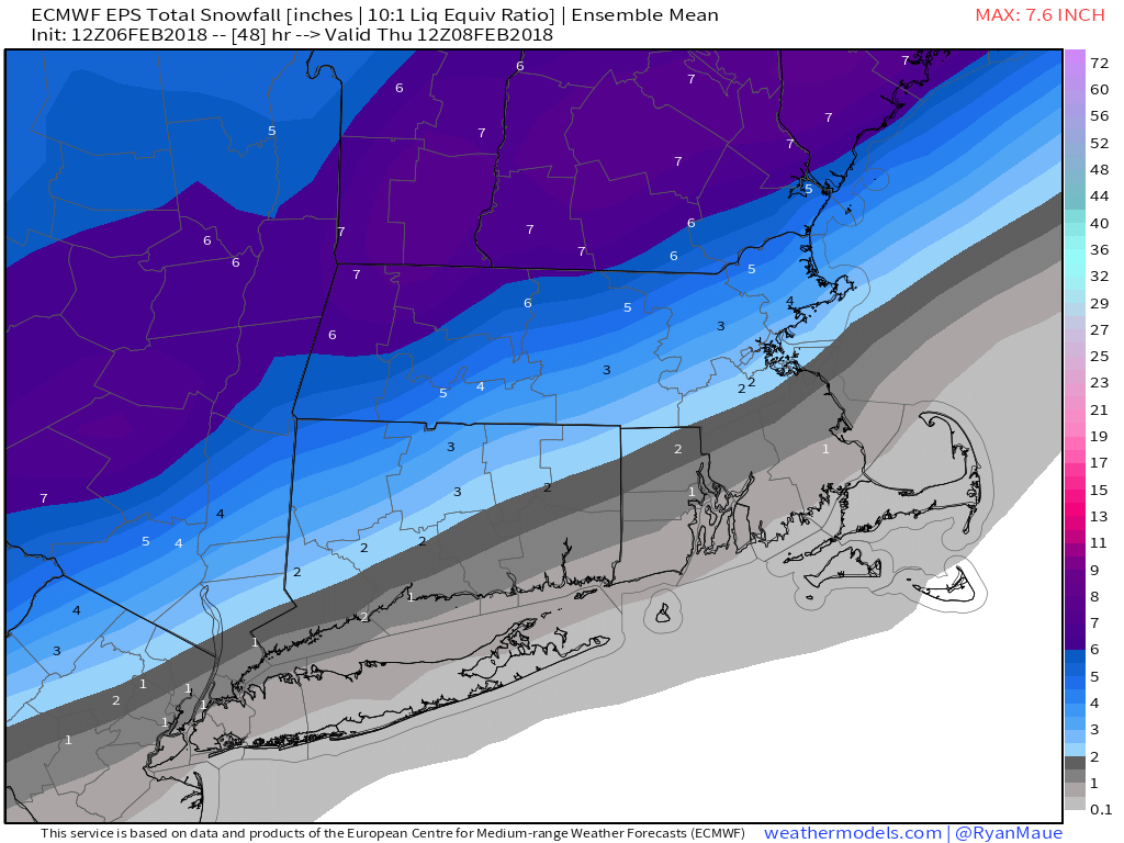
I expect around an inch of snow in the I-95 corridor, with 1-3″ north and a coating to an inch along the coast before the changeover. It’s not a big deal, but some slippery travel is possible midday into the early afternoon. A couple of hours of sleet and freezing rain are possible, and that will keep it slick until 2-4 pm, when a change to plain rain with temps in the mid-upper 30s is likely. That will be enough to wash away the snow south and east of Providence. It will be slushy inland.
Rain may be heavy at times for a while Wednesday evening. Precipitation ends between 10 pm – 1 am from west to east, and the temperature will tumble below freezing by dawn on Thursday. Watch out for some icy patches.
Thursday and Friday look cold and mainly dry. Flurries or light snow may arrive by late Friday afternoon. The system has a better chance of bringing snow to central and northern New England, but a minor accumulation is possible in Southern New England Friday night.
The weekend looks relatively mild, with highs in the 40s both days. It may even reach 50 on Sunday, but that comes with rain for the third straight week. Saturday looks mainly or all dry, with some clouds. Sunday could be a washout.
Looking down the road, there are no signs that very cold weather is making it into New England for any kind of extended stretch through mid-February. This is a change from the outlook of a few weeks ago. At this rate, there’s a decent chance that February ends warmer than normal and with below-normal snow.


