The temperature was close to normal for a change on Friday. It will be slightly below normal on Saturday before a fresh shot of cold air arrives on Sunday. The new batch of cold air may be accompanied by snow showers late Saturday night into Sunday. A coating of snow is possible around dawn on Sunday in RI. It may reach 1-2″ close to the Eastern Massachusetts coast.

The snow threat diminishes during the day on Sunday. It will stay chilly with highs only in the mid to upper 30s and a gusty breeze. Monday also looks cool for late March, with highs only in the upper 30s to low 40s after starting the day in the 20s. It gradually gets milder for the rest of the workweek. Look for the mid 40s on Wednesday, and possibly into the 50s Thursday and Friday. A series of fronts moving through late in the workweek may bring rain showers.
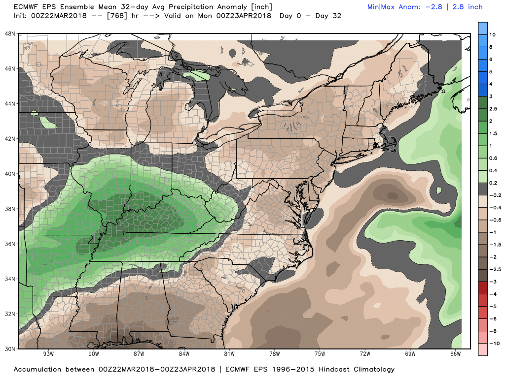
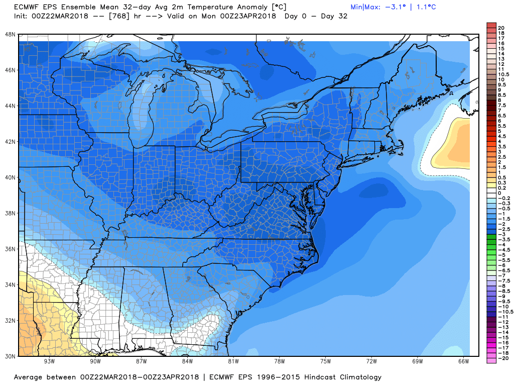
The long-range outlook for the next month continues a relatively cool weather pattern for a while. It also looks like the precipitation will not be too far from normal in the next four weeks. There is a low risk of snow in early April, but a chilly pattern bears watching.