A weak disturbance approaching from the west will bring some clouds in the midweek. A few light rain showers are possible early Wednesday, and again on Thursday. Most of the time it will be dry, and less than 0.1″ of rain is likely through the end of the workweek. Expect seasonable conditions with highs in the low 50s on Wednesday.
Clouds will be thick on Thursday, and it may be damp/drizzly near the coast. The temperature will likely not make it out of the 40s unless the clouds unexpectedly lift during the day. A cold front passes through on Friday, and it looks like it may come through without any steady rain. In fact, clouds may break a bit on Friday, and the temperature could spike to 60°.
The Easter weekend looks fairly quiet. Expect some sun on Saturday with highs in the low to mid 50s. It should be a fine day. Easter Sunday will feature sun followed by clouds. A fast-moving front could bring a brief shower and windy conditions midday or in the afternoon. It looks like a mainly or all dry day, with highs in the low to mid 50s.
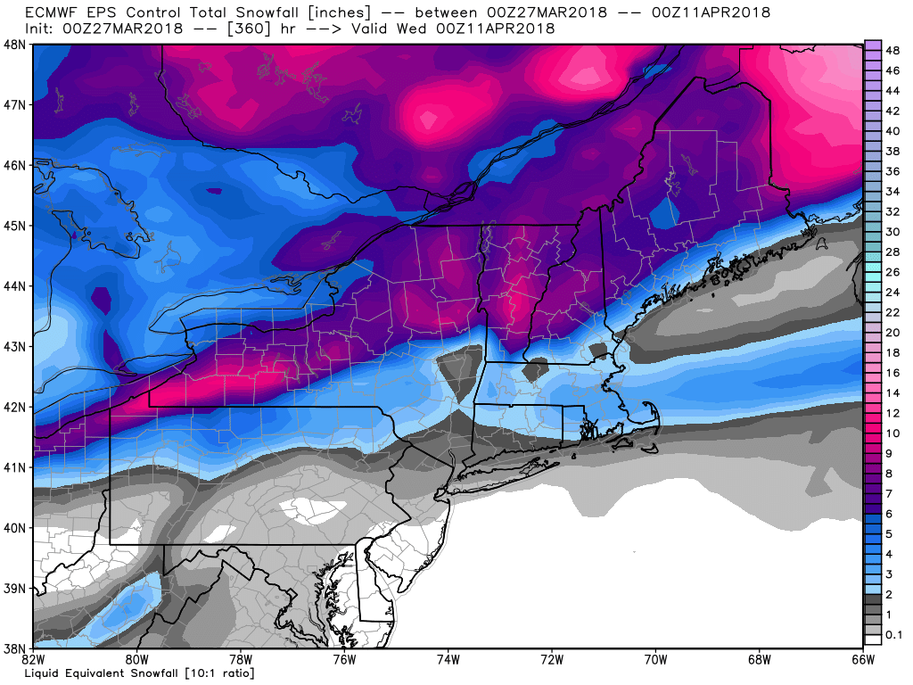
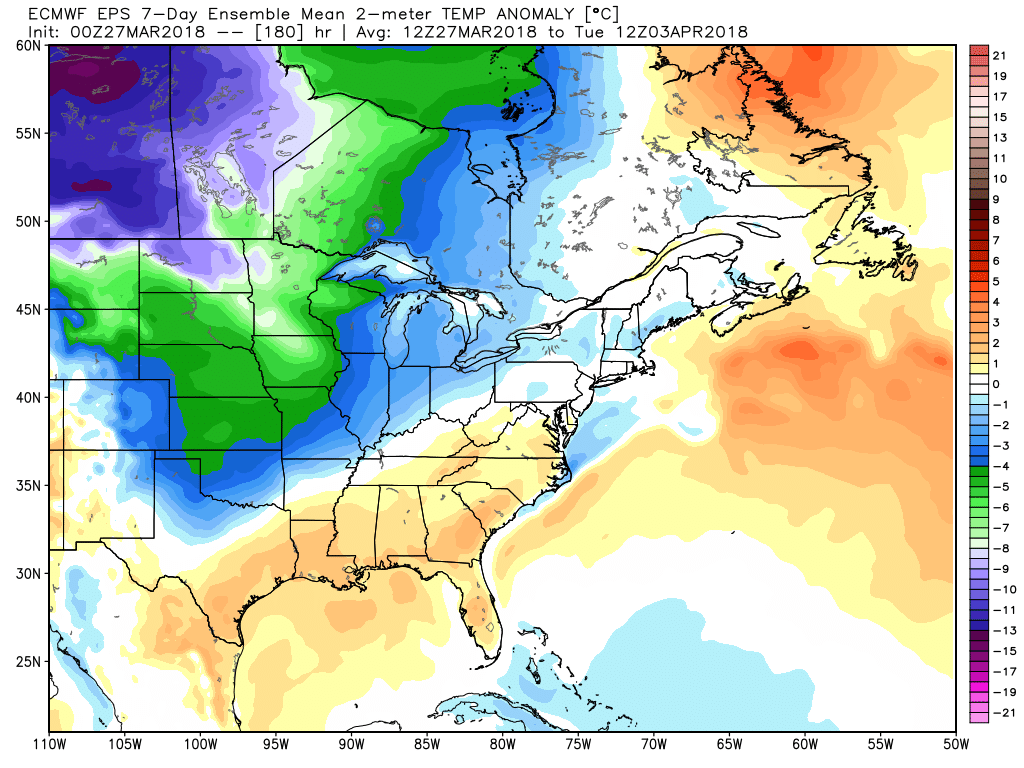
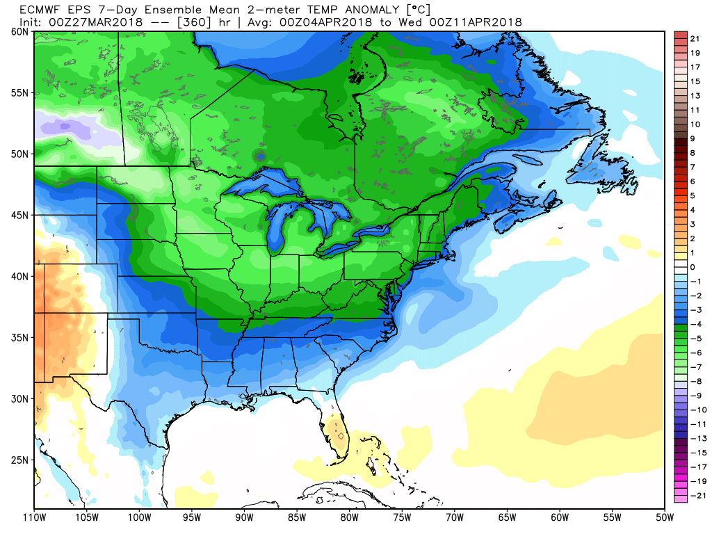
The overall theme for the early to middle part of April is for relatively cool weather in most of the Eastern United States, including New England. It is not to the point where we can slam the door on a freak snow event through mid-April. Nothing is imminent, of course, but the pattern bears watching through mid-month.