We will enjoy a very brief warm-up in Southern New England before an unseasonable chill returns. Look for highs in the 60s to low 70s on Friday with a blend of clouds and sun in the afternoon. It will be mild and slightly damp Friday night with patch fog and mist and temperatures in the upper 40s to low 50s overnight.
Saturday’s forecast is tricky as a backdoor cold front slides down the coast from Northern New England. You’ll know when the front passes because the wind will shift to the northeast, clouds will arrive, and the temperature will nosedive. It looks like the front will make it through the Providence area during the afternoon, and that will drop the temperature from the 60s to the 40s in a couple of hours. The front will likely arrive sooner in Eastern Massachusetts where it may not get out of the 50s. It will take the longest for the cool air to reach southwest RI and Connecticut. Saturday looks like a dry day, but expect increasing clouds and the cool-down at some point.
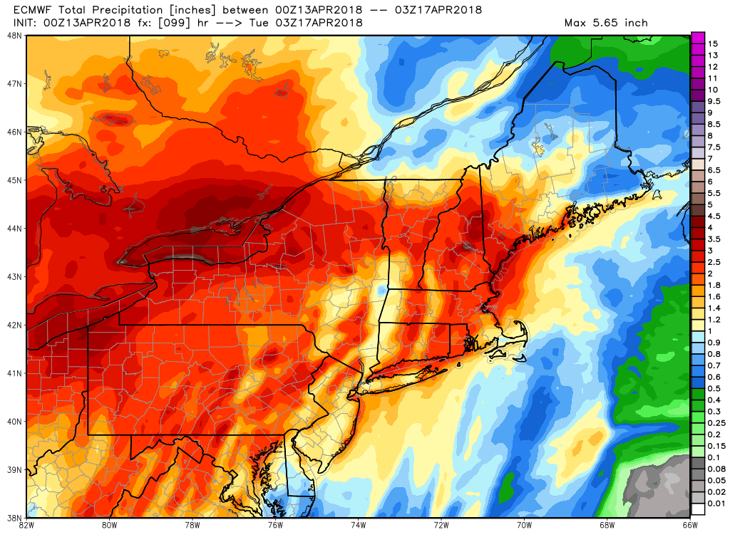
Sunday looks raw and dreary. The temperature will start in the 30s and only reach the low 40s (at best) with a northeast wind. Showers, drizzle, and mist are possible through the day. There will be more showers Sunday night in the chilly air. Expect a period of steadier rain, which may be heavy at times, midday into the afternoon. 1-2″ of rain is likely between Sunday and Monday night. The wind may increase to 20-30 mph, with gusts over 40 mph possible Monday afternoon as the temperature climbs through the 40s into the 50s.
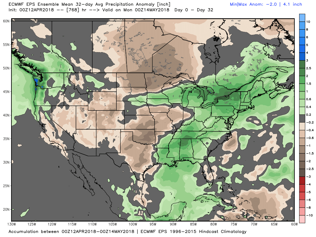
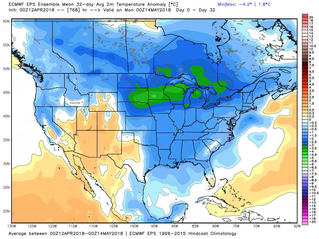
It turns drier, but stays cool, on Tuesday. The high temperature may not reach 50°, and that is about 10° colder than normal. The weather looks relatively quiet for the rest of next week. I do not expect a big and extended warm-up anytime soon. The overall pattern looks cooler than normal right into May. Of course, the further we get into spring, the feel of a “cool” day changes. Soon anything shy of 60° will be cooler than normal, so we could have pleasant weather, but just not as warm as it usually is.