A soggy Wednesday will give way to some sun on Thursday. After a gray start, expect a seasonable and partly sunny day, with highs in the low to mid 60s. It will stay dry through Friday morning, but more rain is possible Friday afternoon and evening as a fast-moving storm system passes by. Highs will be near 60 on Friday.
Saturday looks dry and mild through the afternoon. Highs will be in the low to mid 60s. A strong cold front passes through New England Saturday night. A few showers are possible Saturday night as the front moves by. Expect much cooler weather on Sunday, with some sun and highs in the 50s.
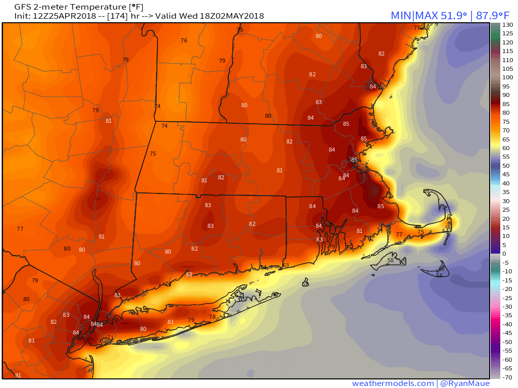
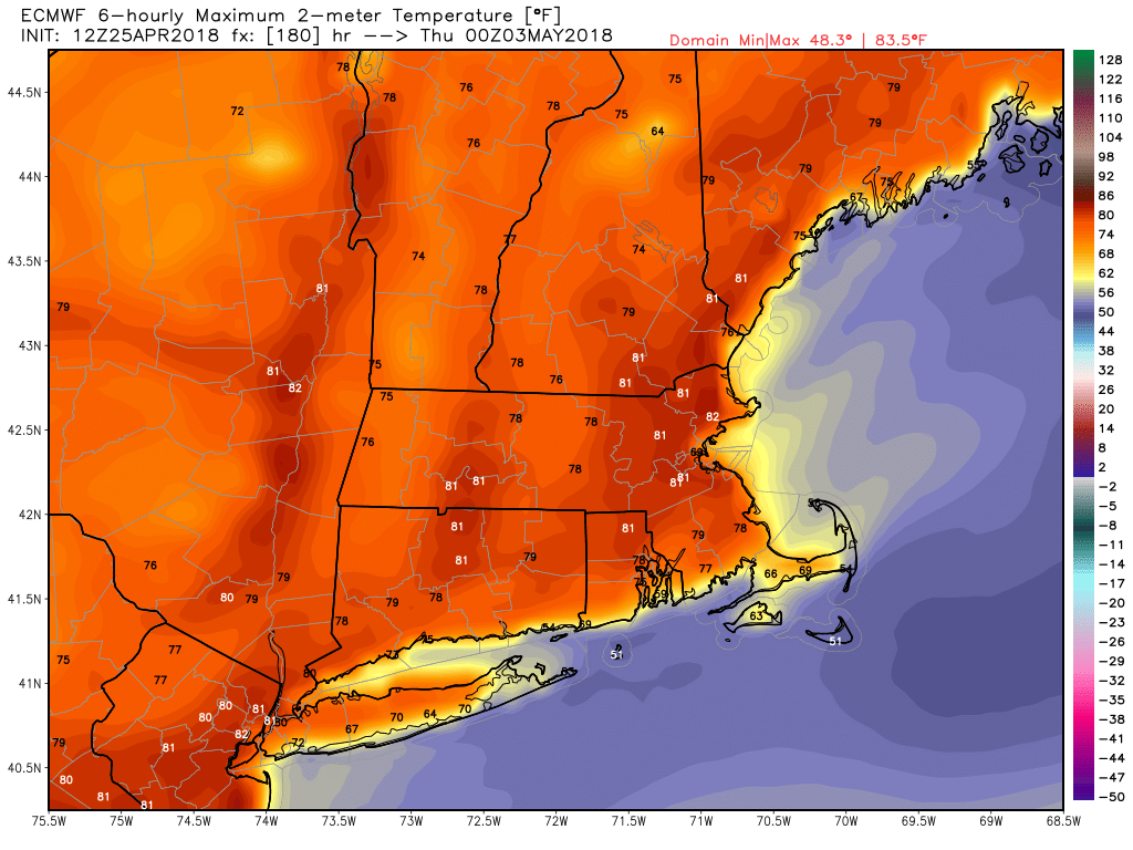
The temperature starts to bounce back on Monday, and we are heading for a warm-up to the warmest weather of the year so far in the middle to end of next workweek. Expect it to reach the 60s on Monday, which is normal, then jump into the 60s/70s Tuesday, and 60s to 80s Wednesday and Thursday. The warmest weather will be away from the coast. A front approaching next Friday could bring showers/t-storms and cooler weather as we head into next weekend.
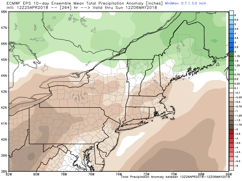
The weather pattern does not looks as warm after next Friday. It’s likely to be closer to normal. It will also be a relatively dry stretch of weather from Thursday, April 26 through the end of next workweek. The best chance for showers is Friday afternoon, with a lower threat Saturday night. Monday through at least Thursday look completely dry.