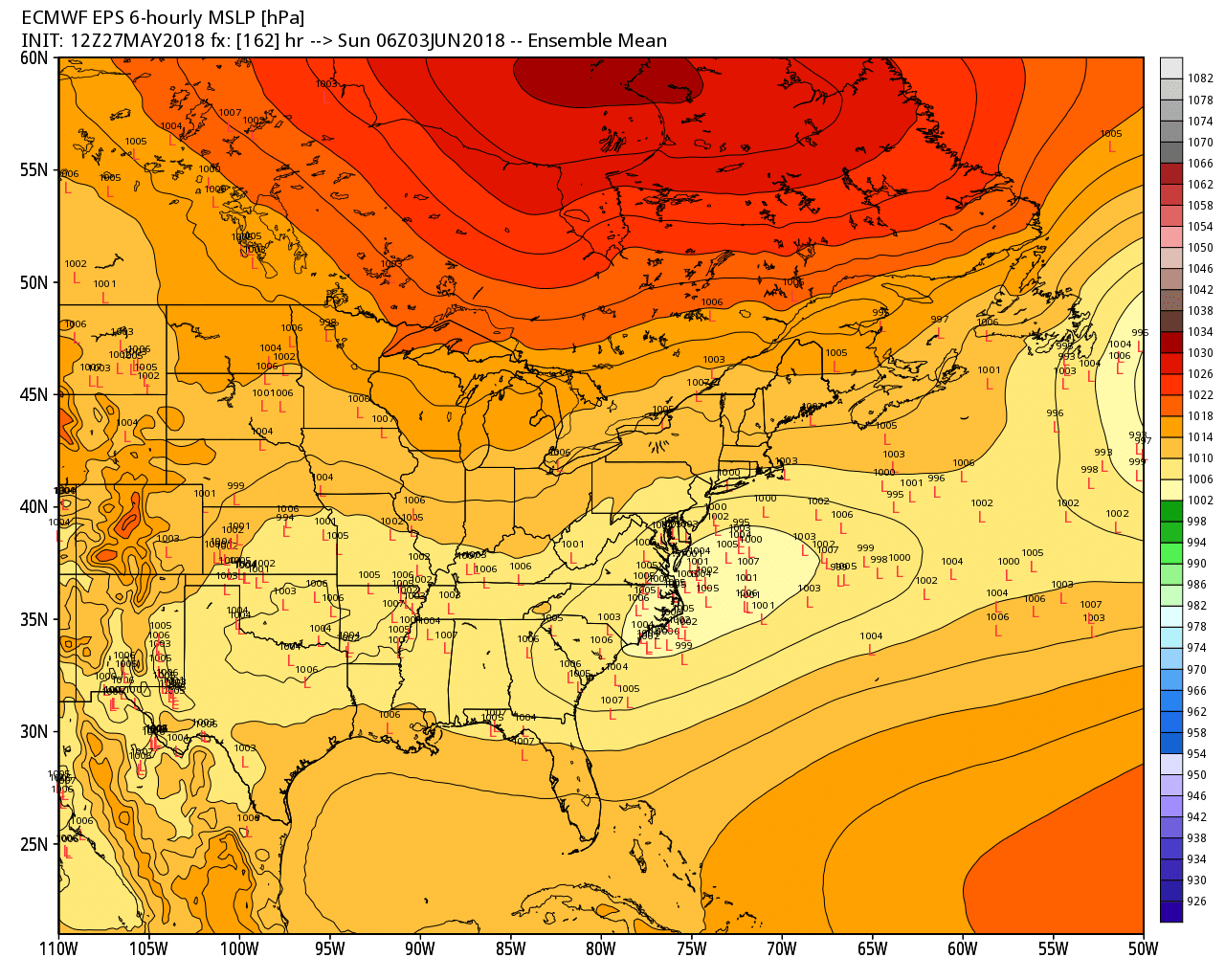
The weather looks quiet through the midweek. A dry and relatively cool Memorial Day will give way to warm weather on Tuesday. It cools, but stays dry, in the midweek. What’s left of Alberto will move west of New England by midweek, and part of the remnants may spin over Southern New England late in the workweek and into next weekend. Showers are possible from late Thursday into, at least Saturday. It does not look like a washout, but probably not completely dry, either.
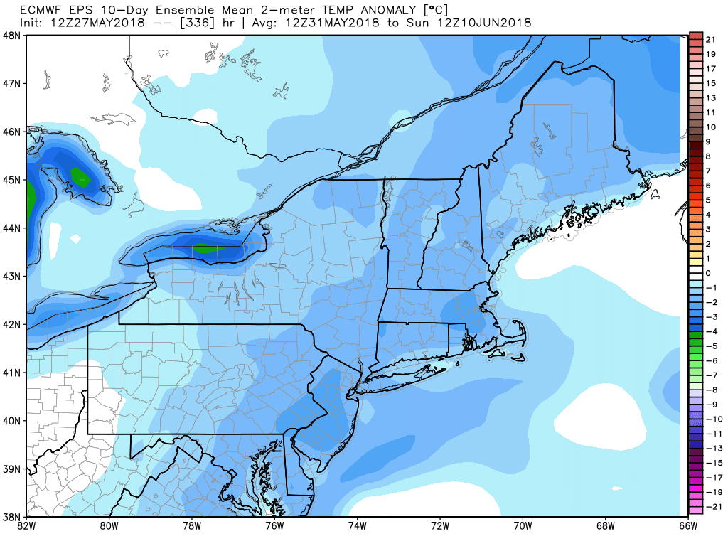
Tuesday will be relatively warm, but most of the next 10-14 days looks cooler than normal. The EPS mean temperature anomaly is below normal for the first 10 days of June. Unfortunately, it looks like we’ll have another weekend with less than stellar weather. It’s a trend dating back to April.