The warmest 3-day stretch of weather since last September continues into the end of the workweek. It will get muggier on Thursday, and it stays humid on Friday. Scattered t-storms are possible both Thursday and Friday, with the highest likelihood inland. The best chance of t-storms is in the afternoon and evening. Temperatures will reach the 80s inland both days, and it will stay in the 70s at the coast. Overnight temperatures will be quite mild for the next few nights, with lows in the 60s. It looks most uncomfortable Thursday night, with high humidity. Air quality will not be great Thursday or Friday.
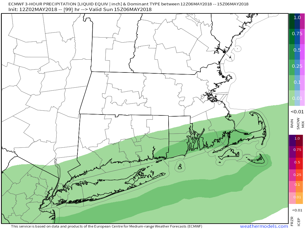
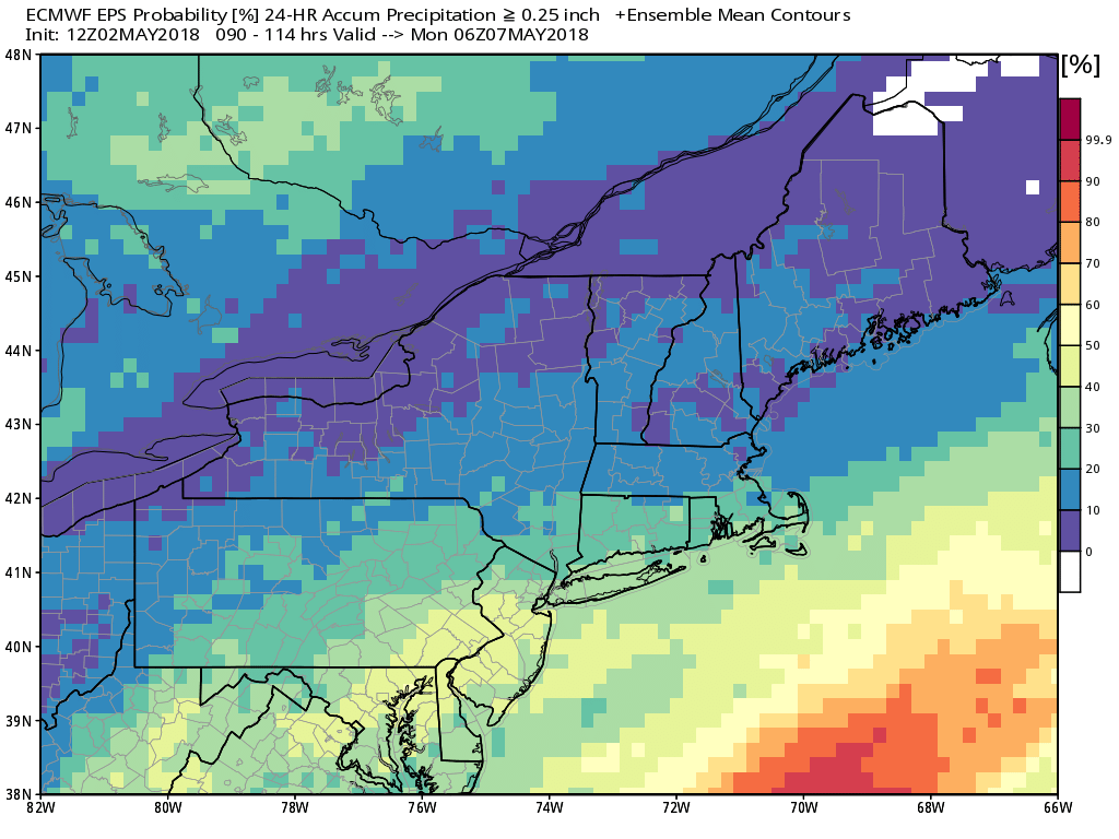
Looking ahead to the weekend, Saturday should be the nicer day. Expect some sun, lower humidity and highs in the upper 60s to low 70s. Clouds arrive late in the day, and showers are possible Saturday night and Sunday. It does not look like heavy rain. Even if the showers are more miss than hit, it will likely be mostly cloudy and cooler, with highs in the 60s.
The weather looks fairly quiet and seasonable next week. Expect highs in the 60s/70s with mainly dry weather. The theme through mid-may is for near to above normal temperatures in Southern New England. It also looks relatively dry for the first half of the month.


