A quiet weather pattern is here for a while. For anyone worried that we would go straight from winter to summer after last week’s heat, you’ll be pleased with the temperatures in the next several days. It looks like some great spring weather through the workweek. It may get warmer this weekend into early next week.
The weather looks dry for days to come, and it may stay dry right through the weekend. Highs will be in the 60s at the coast and low 70s inland Tuesday through Thursday. A front moving through on Thursday night could trigger a few showers. It does not look like much. The weather will likely stay dry Friday and Saturday, but a front needs to be watched. The early outlook is for the front to move north of Southern New England without bringing much, if any, rain. If the front lifts to the north, there is a good chance it will warm into the 70s, and maybe even 80s inland, on Mother’s Day.
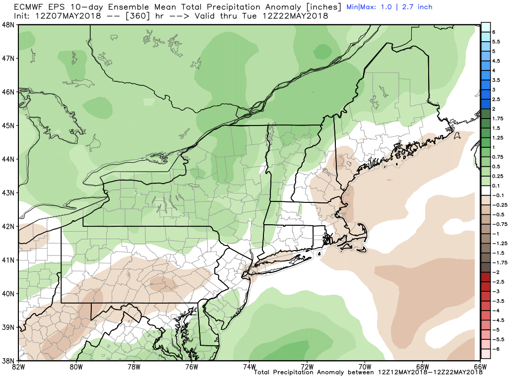
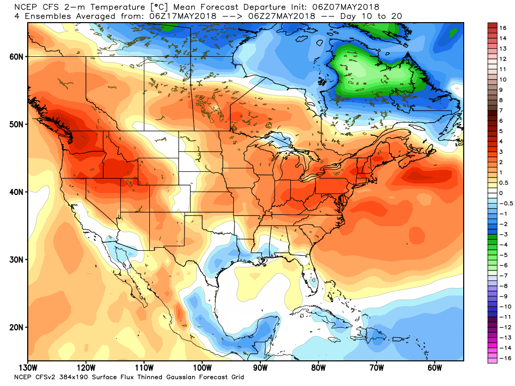
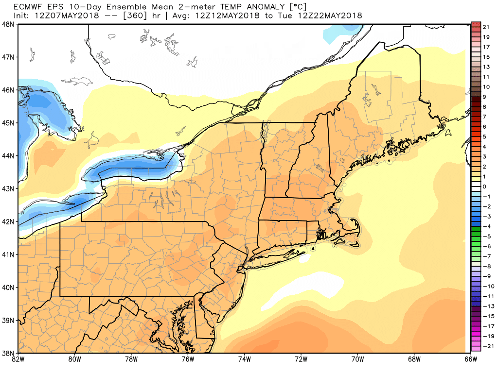
The long-range outlook is for above normal temperatures through the middle of the month. There is a better chance of some showers next week. Other than that, there’s not much going on. This can be a pretty quiet time of the year in Southern New England, and it looks like that will be the case through this week. It will not be long before we’re tracking potential tropical systems and heat waves.