June 24th Update
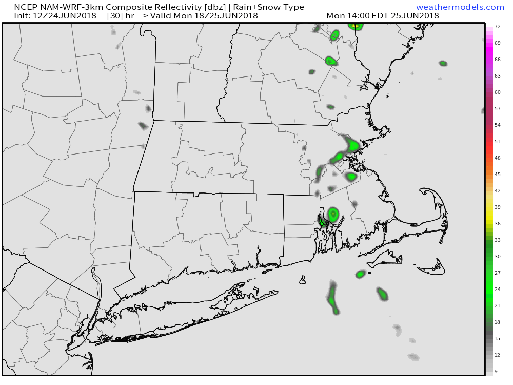
The workweek begins with mainly dry and seasonably cool weather. A disturbance sliding down the Eastern New England coast likely brings scattered showers to Eastern Massachusetts, and a few of them may drift into Rhode Island. Expect a partly cloudy day with highs in the upper 70s to low 80s in RI and a bit cooler in E MA. The shower threat ends Monday evening, and dry/comfortable weather settles in overnight. Lows will be in the 50s on Tuesday.

Tuesday and Wednesday look like pretty nice days, with Tuesday getting the nod as the better day. Expect lots of sunshine and highs in the mid to upper 70s – not very warm for late June, but still nice. After a sunny start, clouds will drift in on Wednesday. Highs will be in the 75-80° range again.
A front passing by on Thursday brings the best chance of rain in the upcoming week. It has been quite dry in the past 6-8 weeks, and the weekend storm did not produce as expected, so I’m a little leery of some of the computer models predicting widespread 0.5″ rain totals for Southern New England on Thursday. I think it’s a 50/50 chance for at least 0.25″, which is still better than nothing. The shower threat is during the day, and a thunderstorm is possible. Highs will be in the 70s.

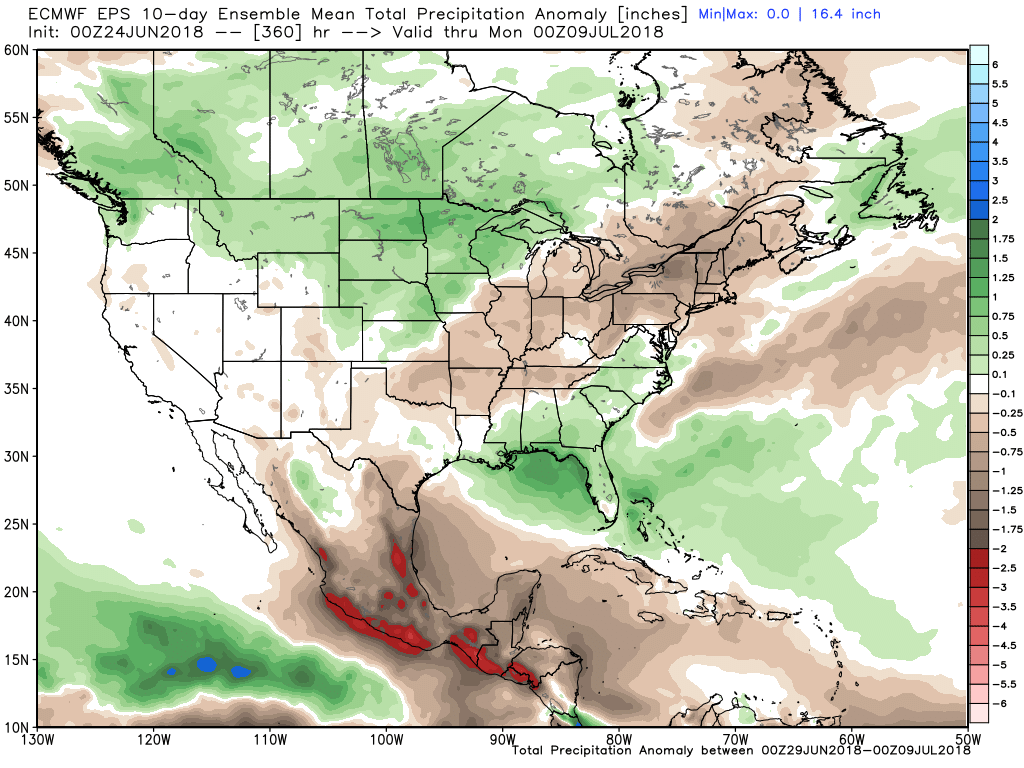
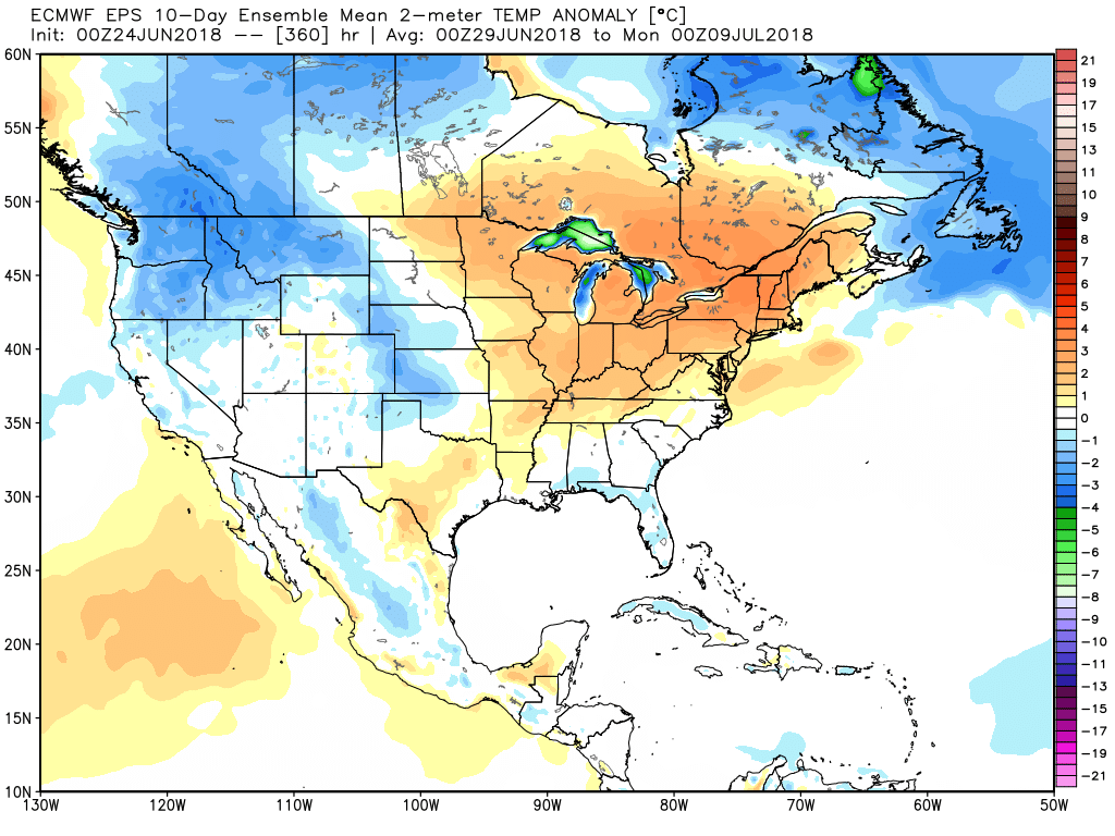
Dry weather returns on Friday, and heat/humidity builds in over the weekend. Expect highs well into the 80s on Friday. 90°+ is in the cards for inland Southern New England next weekend. It will be cooler near the coast. An overall warm and dry pattern is likely in early July. It’s too early to say if it will be scorching heat or just run-of-the-mill upper 80s and low 90s, but do not expect to save much on air-conditioning costs next month.


