Gorgeous midweek weather will give way to some rain on Thursday. Expect lots of sunshine Tuesday afternoon and most of Wednesday ahead of the system that will bring rain and possibly thunderstorms for part of Thursday. Highs between 75-80° are likely on Tuesday and Wednesday. The low temperature Tuesday night will be in the upper 50s to low 60s. There will be more clouds on Wednesday than on Tuesday.
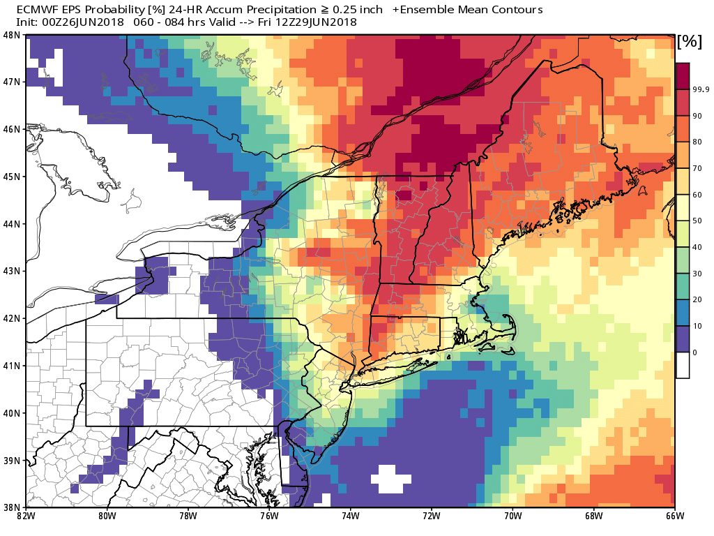
The approaching frontal system on Thursday has the potential to produce locally heavy downpours and thunderstorms. Some severe weather cannot be ruled out. The best chance of heavy rain is in western New England, with a lower risk of torrential downpours in Rhode Island and Southeastern Massachusetts. The best chance of rain is in the afternoon and early evening. Thursday looks very muggy.
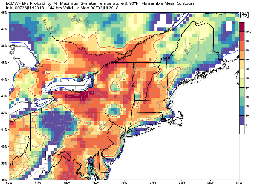
Hot weather pounces on the Northeast Friday into the weekend. Highs in the 90s are possible inland from Friday through Sunday. The best chance of 90°+ inland is on Sunday. It will be cooler at the beaches. The humidity briefly lowers on Thursday, but it will be rather humid to go along with the heat over the weekend.
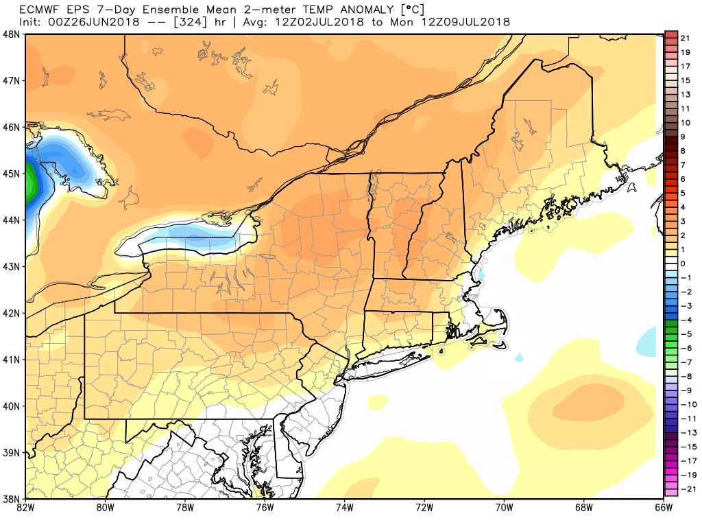
Looking ahead to next week, the odds of very hot weather are lower than they were a few days ago. It’s a close call between a relentless stretch of upper 80s to 90s from this weekend through next week, and some relief in the middle of next week with onshore breezes. At this point, I expect a warmer than normal week, but probably not searing heat well into the 90s. There is a decent chance of several 90°+ days inland between this weekend and the first weekend of July, but it’s very likely to be cooler near the coast with temps in the upper 70s to mid 80s. Overall, it looks like a decent week for the 4th of July.
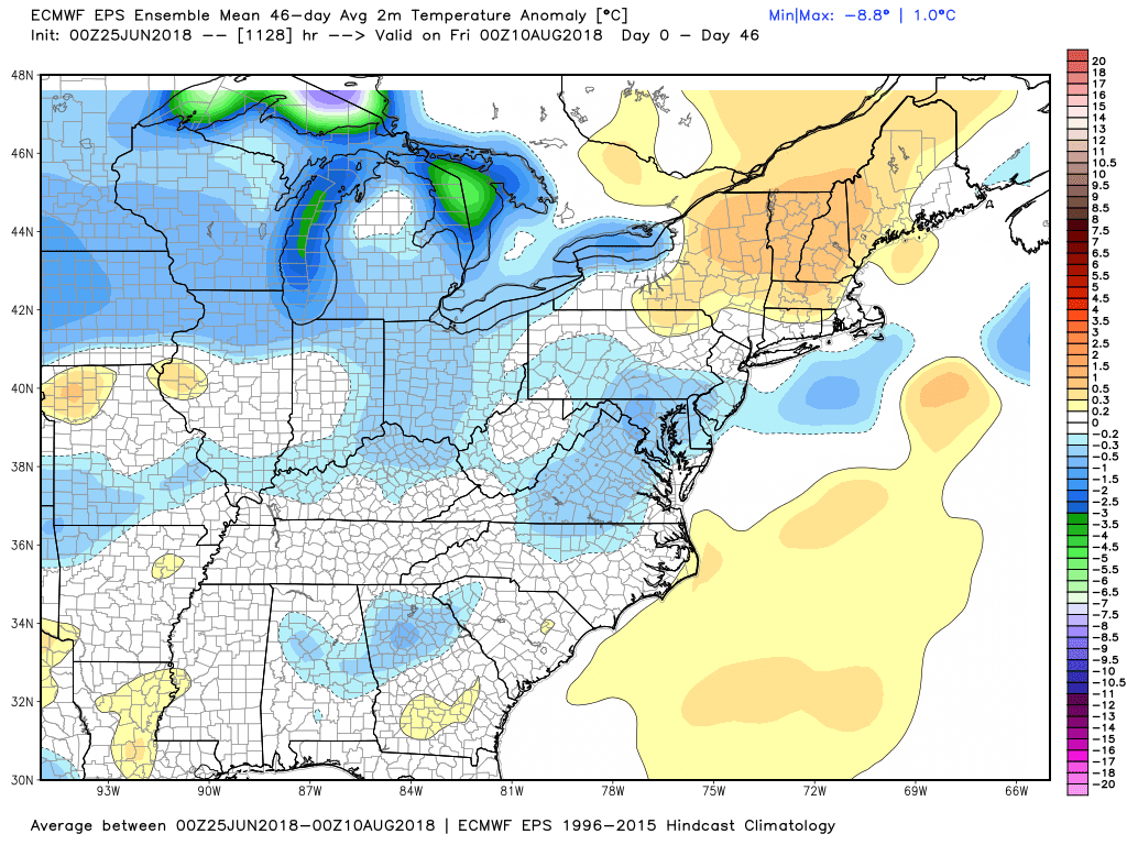
The EPS weeklies are advertising near-normal temperatures in Southeastern New England for the next 6 weeks. That jives with my feeling that this was not going to be an extremely warm or cold summer. June will likely finish slightly warmer than normal, but on the dry side. More than the temperature, this summer could be remembered for a lack of rain. There are some signs that the pattern will turn wetter in mid to late July, but, by then, the seasonal rain deficit could be significant in part of Southern New England.