Hot weather continues inland through the 4th of July. There will be some relief near the coast thanks to onshore breezes. Most nights through the week will feature low temperatures in the cities in the low to mid 70s, and upper 60s to low 70s in the countryside and near the coast. There is not much of a chance for rain through most of the week. Scattered inland t-storms cannot be ruled out on Sunday afternoon, Tuesday, and Wednesday, but there is a better chance that it stays dry.
The best chance of rain in the next week is on Friday as a cold front plows through and brings seasonable warmth back for next weekend. That means highs in the 70s coast and 80s inland, instead of mostly 80s coast and 90s inland.
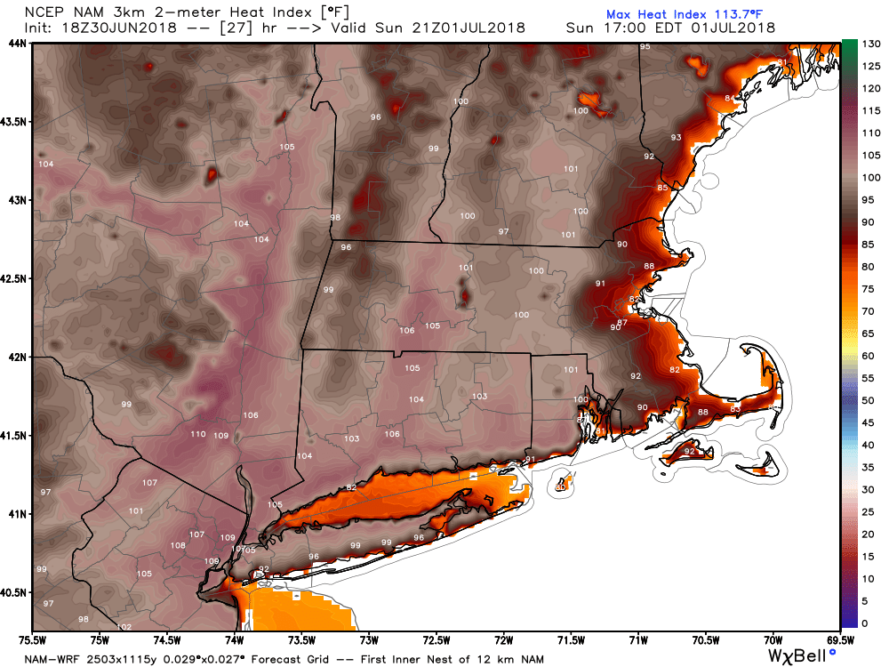
Sunday afternoon will be a scorcher inland, with highs well into the 90s and high humidity. It may feel like 105° in some spots on Sunday afternoon. There is a very low chance of a few thunderstorms popping up inland. The air quality will be unhealthy for sensitive groups with elevated levels of ozone near the ground. It’s a good day to kick back and relax if you can!
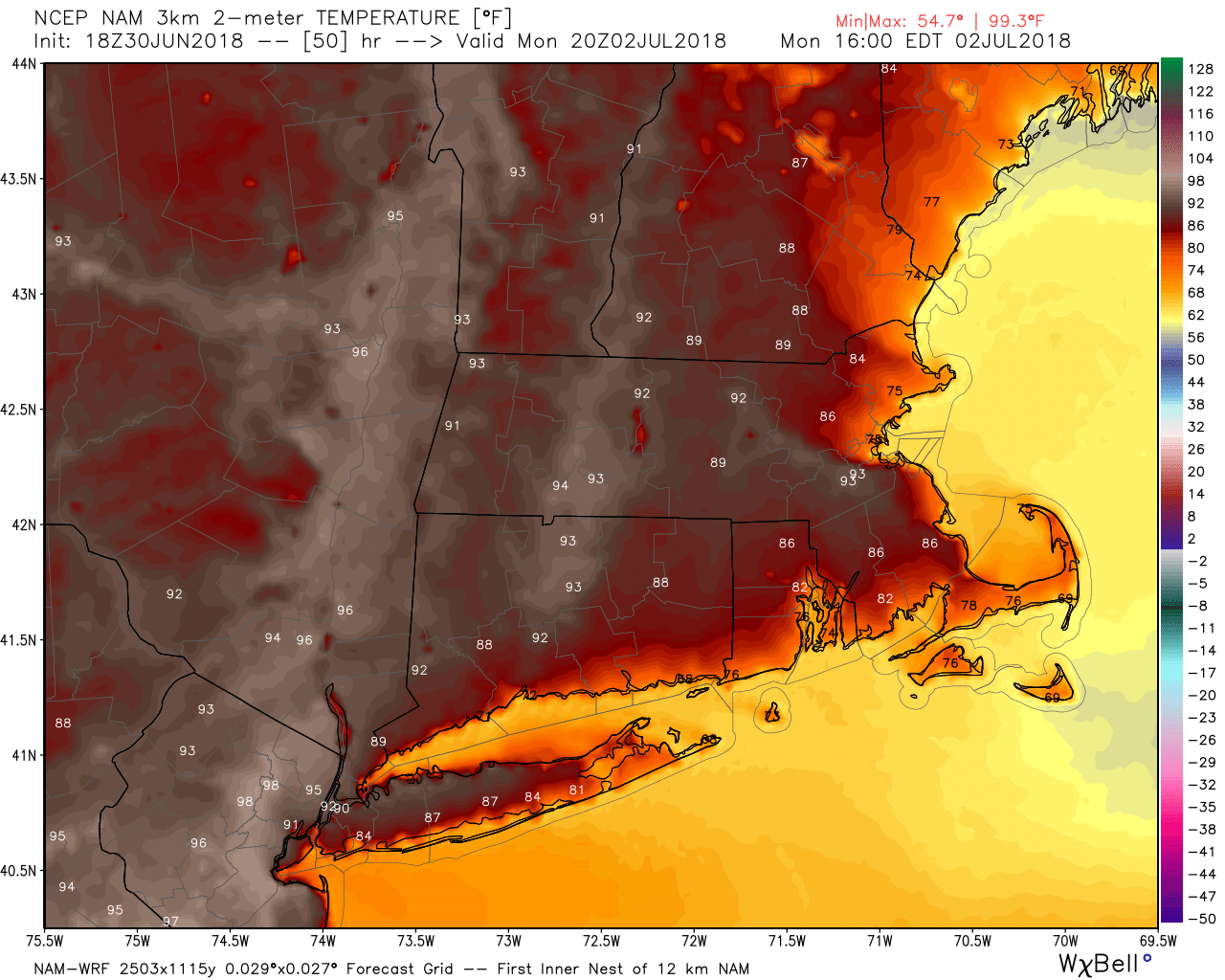
The weather stays hot inland on Monday and Tuesday. It should be cooler at the beaches with highs in the 80s. The 4th of July will be hot, with temps well into the 80s for the parade in Bristol. If you’re coming to town, be sure to bring some water and seek out shade on the parade route.
Overall, the weather should be good for fireworks displays through the 4th of July. As always, we’ll have to watch for fog banks near the coast in the evening. That can always wreak havoc with fireworks viewing.
Hot weather continues through at least midday Friday before showers and thunderstorms arrive to cool things off. We’ll be keeping an eye on the front as it approaches. Sometimes these big heat waves end with strong/severe t-storms. The outlook for next weekend is for lower humidity and bearable warmth with dry skies.
Looking ahead to mid-July, it does not look as warm, but we’re also getting to the warmest part of the year. Even “normal” weather in mid-July features occasional 90° days and sultry nights.


