An active start to the workweek gives way to quiet weather Wednesday through Friday. It will be cool on Wednesday with highs only in the low to mid 60s and a fair amount of clouds. Thursday gets a bit milder with highs in the upper 60s to low 70s. Friday may be the nicest day of the rest of this week with highs in the upper 70s to low 80s and mostly sunny skies. It will feel like early summer.
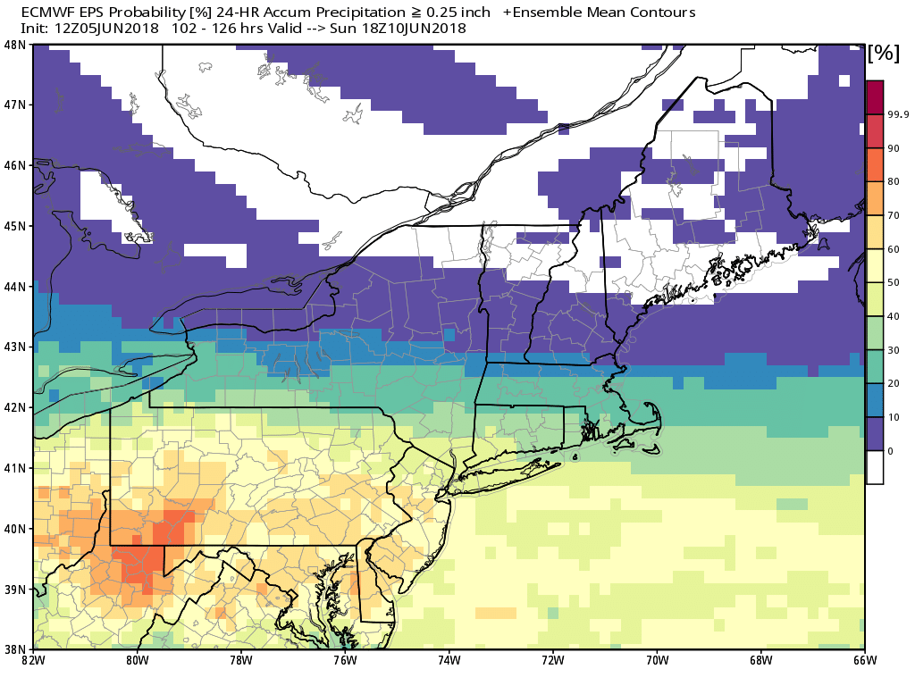
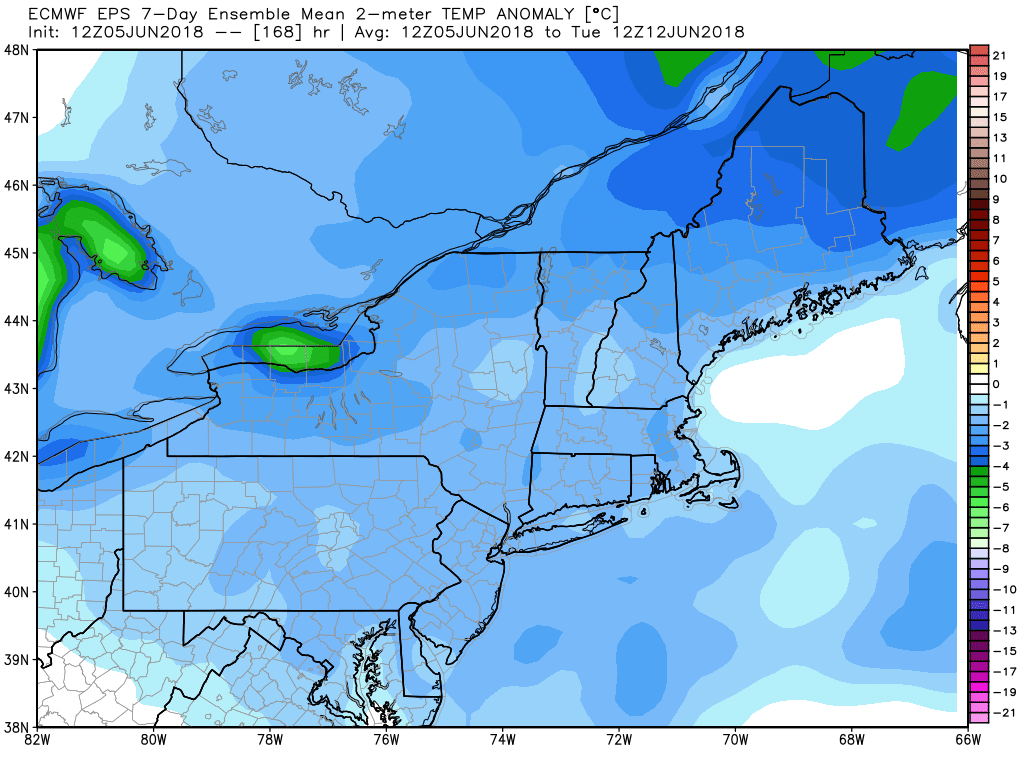
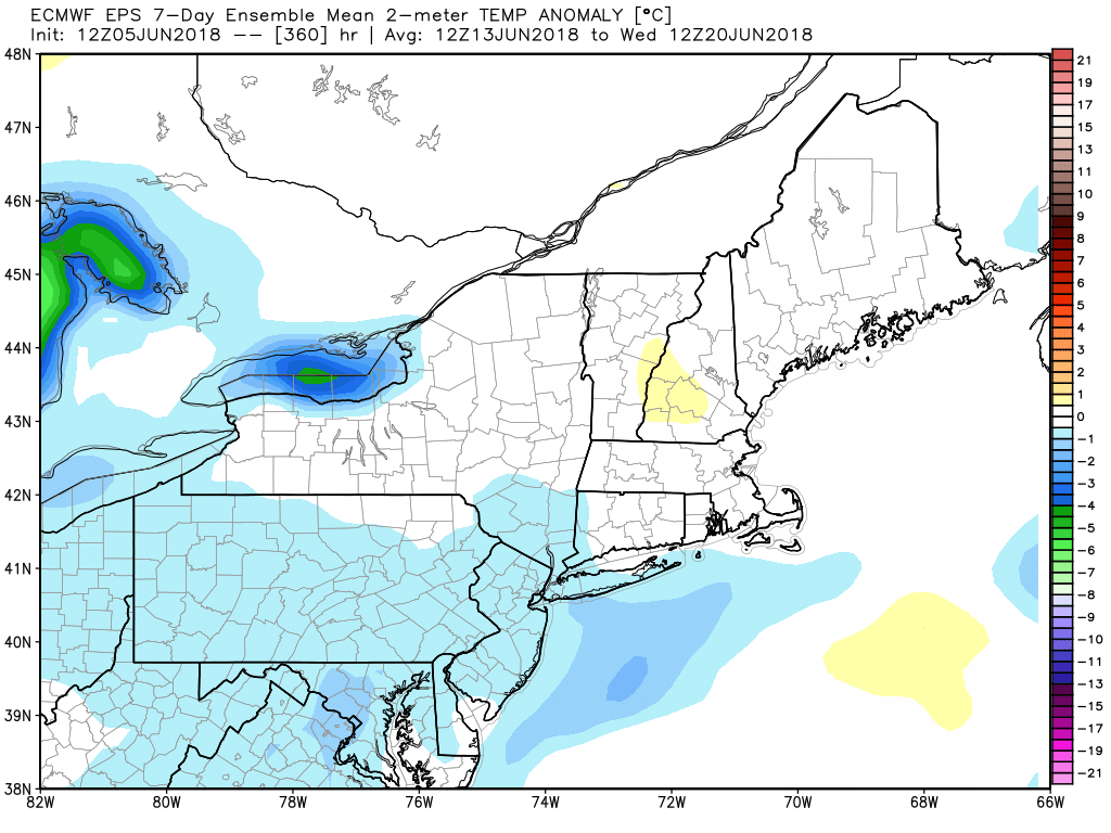
Some rain is likely this weekend. With a little luck, most of it will be Saturday night. Expect sun to clouds on Saturday, with highs in the 70s to near 80. Rain may arrive by sunset, and it will continue at night. The system looks progressive, and it may move out by dawn on Sunday. At this point, the end of the weekend looks dry and pleasant. Expect some sun with highs in the 70s and low humidity. It will be a bit cooler than normal. The overall trend is for mainly dry weather next week, but it may stay a bit cooler than normal – with highs most days in the 70s. FYI – the normal high does not reach 80° in Providence until June 22.