A quiet weather pattern continues through the weekend into next week. The upcoming weekend will likely be the first dry and seasonable weekend since April. At least one weekend day was wet/cool through the month of May. Look for mostly sunny skies and highs 75-80 on Friday. Saturday should be about the same, except with a few more clouds late in the day. It will not be terribly humid, and lows will be in the 50s on Saturday morning.
More fine weather is ahead for Sunday. Expect some sun with highs in the mid to upper 70s. It turns a bit cooler, but still pretty nice early next week. Lows will be in the 50s through at least Tuesday morning. The high temperature will not stray far from the low 70s on Monday or Tuesday.
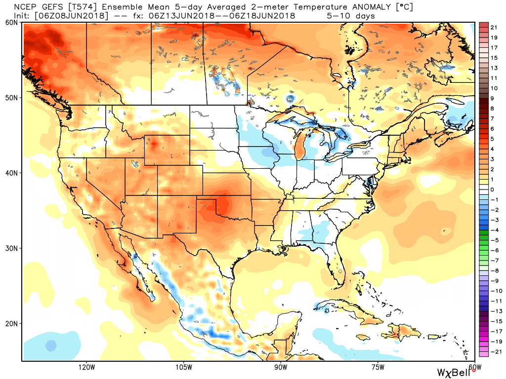
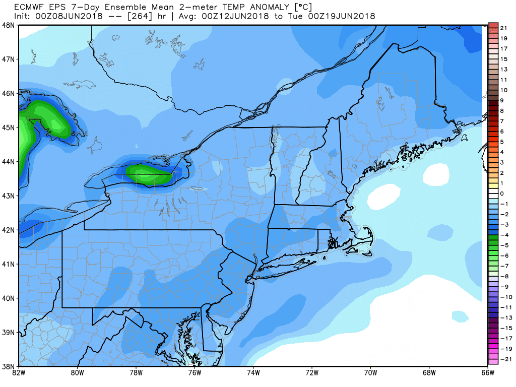
A warm-up is ahead for late next week. A few showers are possible late Wednesday as muggy weather tries to spread into New England. Look for highs in the mid to upper 70s on Wednesday. There is a lot of uncertainty with the forecast for late next week. The operational ECMWF and Canadian model are rather warm with highs in the 80s and humid conditions. The new GFS and German ICON runs are cooler and dry. It’s interesting to note that the ensemble means for the GEFS and EPS are the opposite of the operational runs. The GEFS is relatively warm late next week, and the EPS is relatively cool. Needless to say, it’s an uncertain forecast.
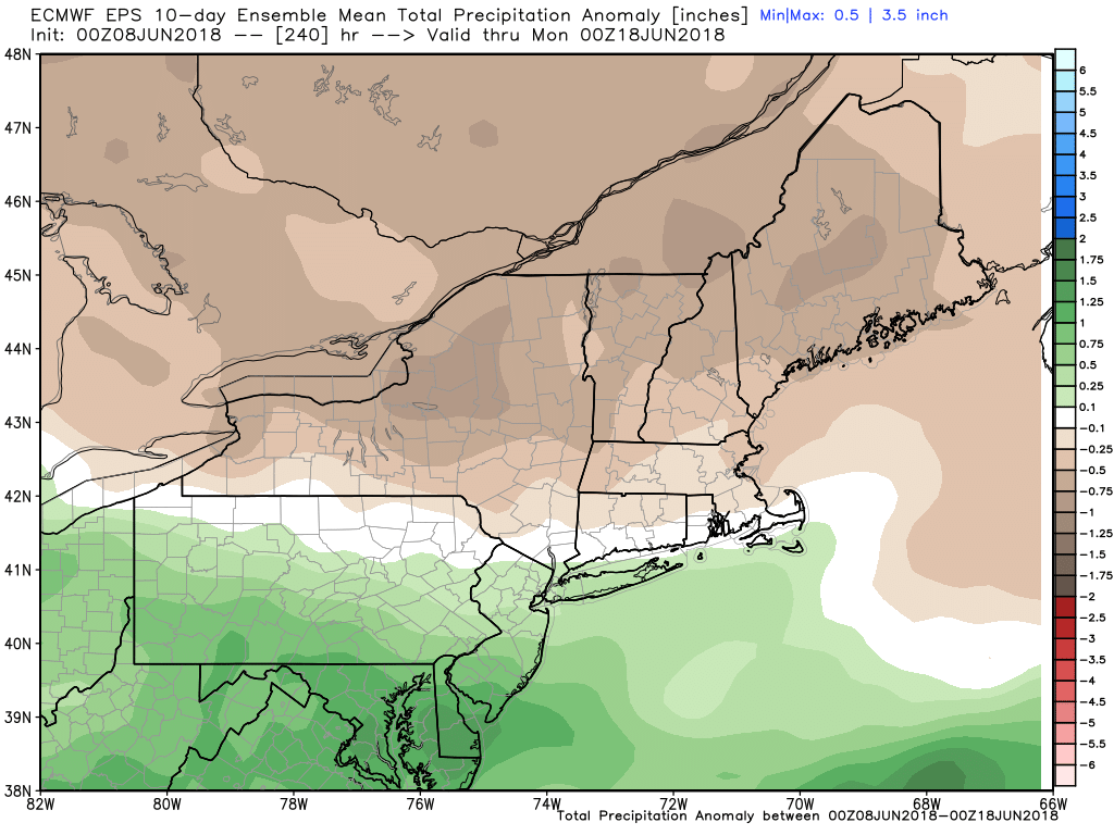
In any event, it does not look like there will be extremely warm or cool temperatures through mid-June. Near to below normal precipitation is likely in the next 7-10 days. It may get unsettled in days 10-15 as summer begins.