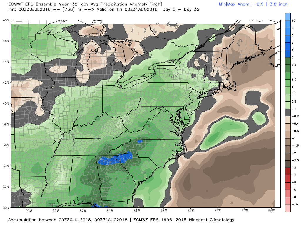
The calendar changes on Wednesday, but the weather pattern stays the same. Brown lawns in Southeastern New England will likely not get much-needed steady rain in the first 10-15 days of August. The weather pattern favors more humid and warm weather with most of the shower and thunderstorms developing away from the coast.
Scattered showers are possible on Wednesday as tropical humidity returns. I do not expect widespread steady rain, and many spots will likely stay dry. Thursday through the weekend will be warm and muggy with scattered (primarily inland) showers and t-storms possible. Highs will be in the 80s to low 90s, and lows will be in the low to mid 70s as air conditioners hum.
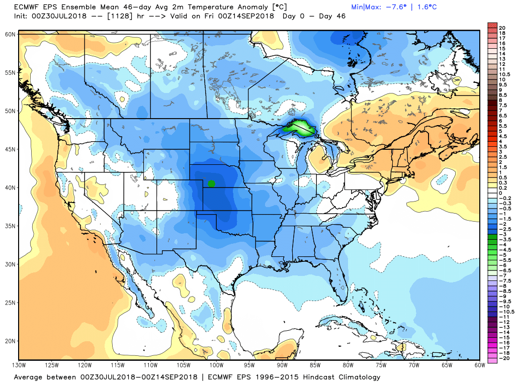
The trend for August is for relatively warm and dry weather in Southeastern New England. A big chunk of the United States may be relatively cool in the next 4-6 weeks, but that will likely not be the case in RI and SE MA.
Tropical activity usually increases in August, but the long-range models are not showing much, if any, development in the next couple of weeks.