Right Weather Pro

July 9th Update

Another mainly dry week is ahead. It will also be slightly warmer than normal in most of New England, except for the immediate coast due to localized sea breezes on most days. Some 90° weather is likely inland, but it will not be extreme heat and humidity. There is little chance of significant rain in the next 7 to 10 days. There are signs that a front may stall near the Eastern Seaboard in the middle to end of next week. That could provide a trigger for beneficial rain sometime between July 18-22. 

Dry weather continues in the next 7-10 days in most of the Eastern United States. Drought conditions may expand by late July if the weather pattern does not change. Tropical systems offshore will not come close enough to bring rain.

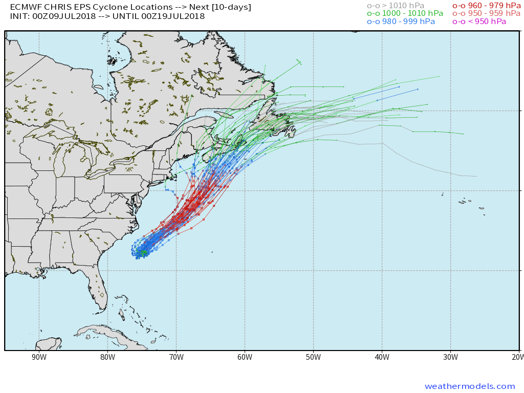
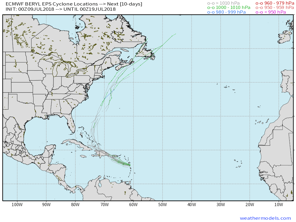
Tropical Storm Chris is expected to become a hurricane as it moves off the Eastern Seaboard into the open Atlantic Ocean in the midweek. It will be strong enough to send swells and rough surf to the coast. Beryl degenerated into a tropical wave upon entering the Caribbean. That’s good news for islands still wary after last year’s devastating storms. 

Chris is likely to become a hurricane in the next day or two as it moves offshore. The storm stays away from New England, but churns up the Atlantic bringing swells, rough surf, and possibly coastal flooding for part of the NE coast in the midweek
If the circulation of former Hurricane Beryl survives its trip the Caribbean, it will likely move north well offshore of the East Coast late in the week.

Fred Campagna

President and Chief Meteorologist - Right Weather LLC AMS Certified Consulting Meteorologist #756 AMS Certified Broadcast Meteorologist #126

Related Articles

Back to top button