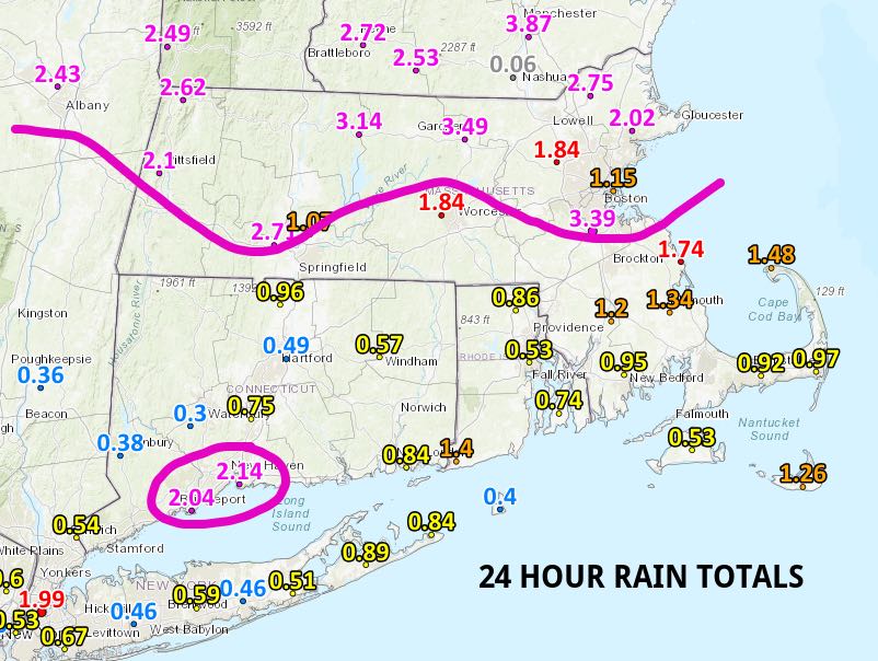
Tuesday went as expected with periods of heavy rain and some t-storms. The remnants of Florence are on the way out of Southern New England Tuesday night, but not before dropping more than 3″ of rain in northern Massachusetts and southern New Hampshire and Vermont. The highest rain totals in Connecticut were in the New Haven -> Bridgeport area with just over two inches. Totals ranged from 0.5-1.5″ in Rhode Island and Southeastern Massachusetts.
There was a tornado warning north of Boston late Tuesday morning, but the National Weather Service determined that the damage was caused by 70-75 mph straight-line winds, and not a tornado. Thankfully, the weather will turn considerably quieter for several days.
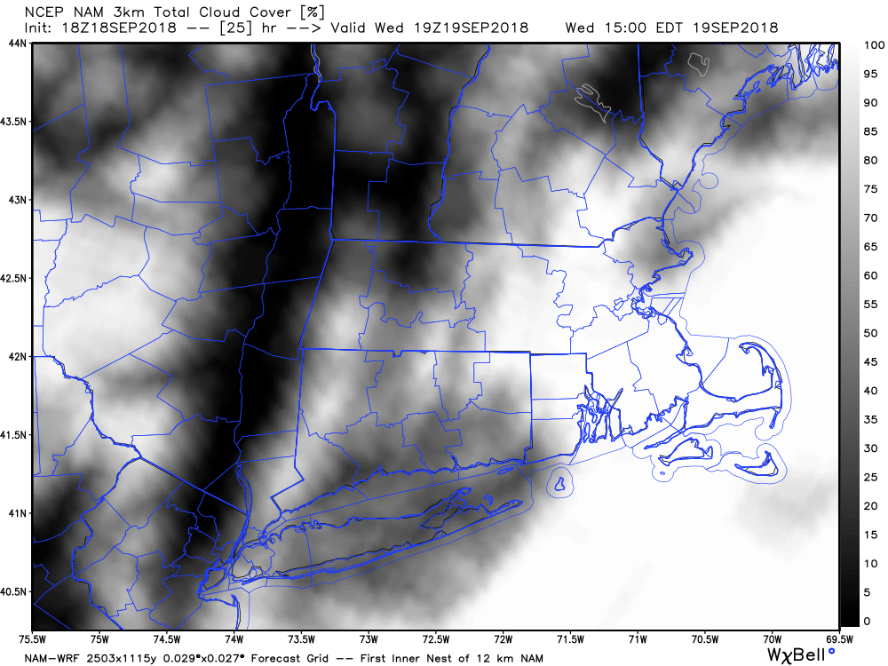
Clouds will be stubborn on Wednesday, and less-humid air will slowly arrive during the day. Look for highs in the 60s to low 70s, with the best chance of cloudy skies in Rhode Island and Southeastern Massachusetts. It will be comfortable Wednesday night. Skies will become mainly clear with lows in the 50s for a change. Thursday looks ok, with clouds/sun, and highs not too far from 70. It gets a bit muggier Friday into Friday night ahead of a cold front. Look for highs in the 70s on Friday with dry skies. A passing shower is possible late Friday night as a cold front eases through.
The weekend still looks decent, with partly cloudy skies and highs in the upper 60s to low 70s. Lows will be in the 60s on Saturday, and in the 50s on Sunday. Dry weather continues early next week before showers threaten on Tuesday.


