Expect a comfortable night with temperatures in the mid to upper 50s by dawn. Patchy fog and mist is possible, especially in Connecticut. Look for the grass to be wet early Friday. Muggy weather briefly returns Friday afternoon into early Saturday as a cold front approaches from the west. It will stay dry through the day. Showers and t-storms are possible from late Friday evening in Connecticut until about 8-9 a.m. on Saturday in far eastern Massachusetts. The threat of thunderstorms diminishes overnight, and there will probably be less than 0.1″ of rain in RI and SE MA. The best bet for over 0.2″ of rain is in western CT.
Expect a fair and dry weekend. Look for temps in the 70s with some sun on Saturday. A northwest breeze brings in lower humidity throughout the day. Temps will dip into the low to mid 50s by dawn on Sunday. There may even be some 40s in the countryside. It will feel like the start of fall! Highs will be in the 60s on Sunday and Monday with dry skies. The next best chance of rain is in the middle of next week from Tuesday afternoon through Wednesday.
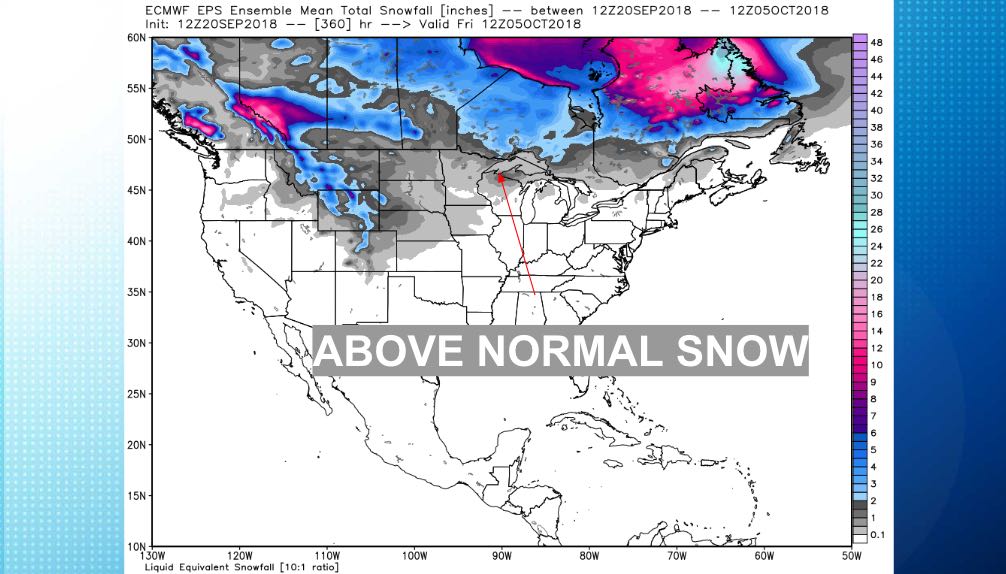
The overall trend for late September and early October is for relatively wet and slightly cool weather. It does not look extremely cold in Southern New England for this time of the year, but it may feel quite chilly given the warm start to September.