A line of downpours and thunderstorms is moving into western CT Wednesday evening. It will continue moving east and bring more downpours to areas that have seen several inches of rain this week. While it may not lead to renewed flash flooding, any showers are unwelcome at this point.

Short-range model keeps the heaviest rain away from most of CT, RI and E MA overnight – this forecast is for 0-0.25″ rain with higher totals in western MA
There will be a break in the action on Thursday. Expect dry skies with highs in the upper 60s to low 70s and much lower humidity. There should be at least some sun from time to time.

The front bringing the shower threat Wednesday night sweeps away the humidity by mid-morning on Thursday
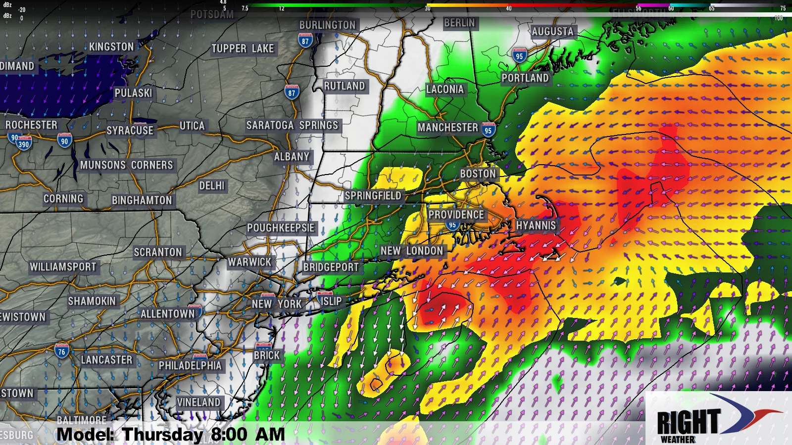
The forecast for Friday is tricky. It looks like a disturbance moving off the Mid-Atlantic coast wants to nudge far enough north to at least bring some showers into the coast of CT, RI, and MA.
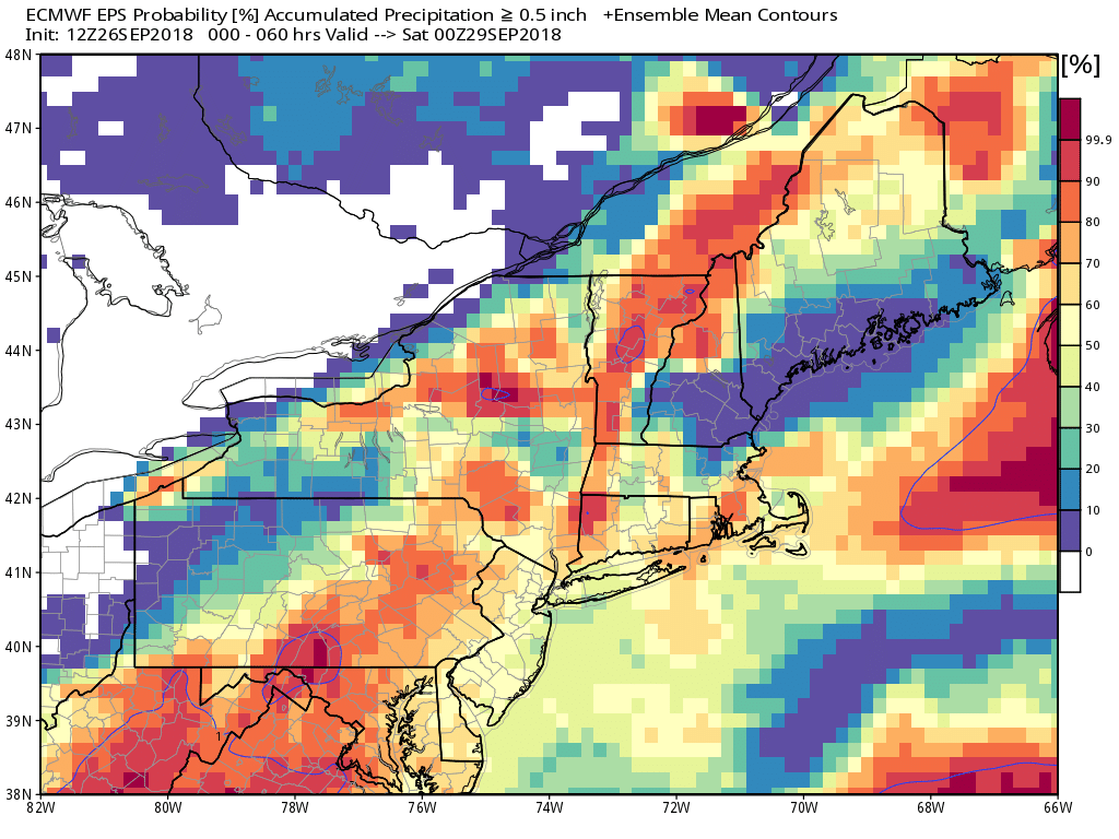
EPS model has better than 50/50 odds in most of Southern New England for at least 0.5″ rain between tonight and Friday. It’s more aggressive than other models, but I think it could be onto something for Friday.
Most computer models are predicting less than a half-inch of rain on Friday, but I am leery of higher totals if the system is a little stronger and the northward trend continues. I don’t think it’s out of the realm of possibility that some towns get another inch or more of rain on Friday. The best bet for rain is during the day with the system moving offshore by late Friday afternoon and dry air follows for the weekend.
Saturday still looks warmer than Sunday with highs in the 70s. Sunday will be in the 60s and feel like we’re on the cusp of October, which, of course, we are! It’s early, but the weather pattern looks drier next week. I also expect another warm-up, and we could have several days in the 70s in the mid to late workweek. I wouldn’t be surprised if it reached the 80s for a day or two – especially inland.