September 3rd Update
Near-record heat and high humidity continue into middle of the first week of September. Expect highs not far from 90° Monday, Tuesday, and Thursday. There may be a slightly cooler breeze on Wednesday. It will be quite humid – especially Mon, Tue, Thu, with lows in the 70s for at least a couple of days. There is a low risk of showers and t-storms most of the time. The best chances of a pop-up t-storm is Tuesday and Thursday.
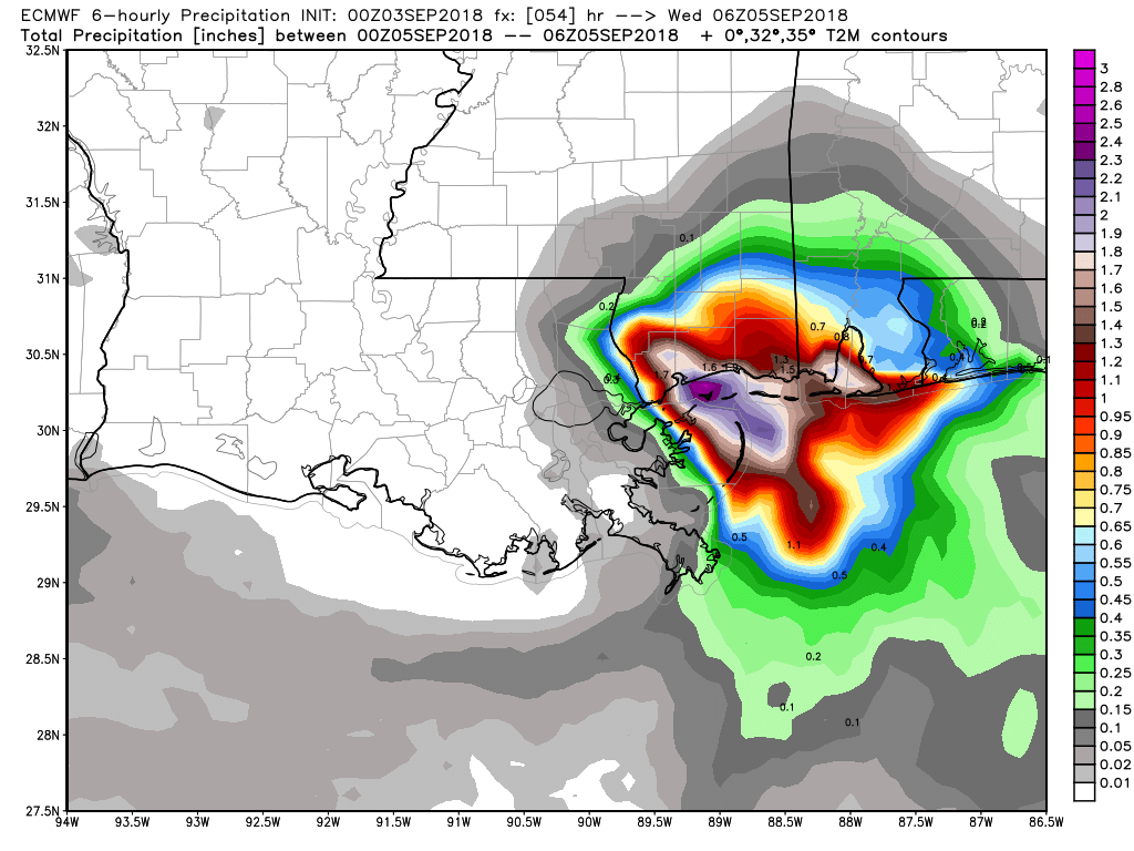
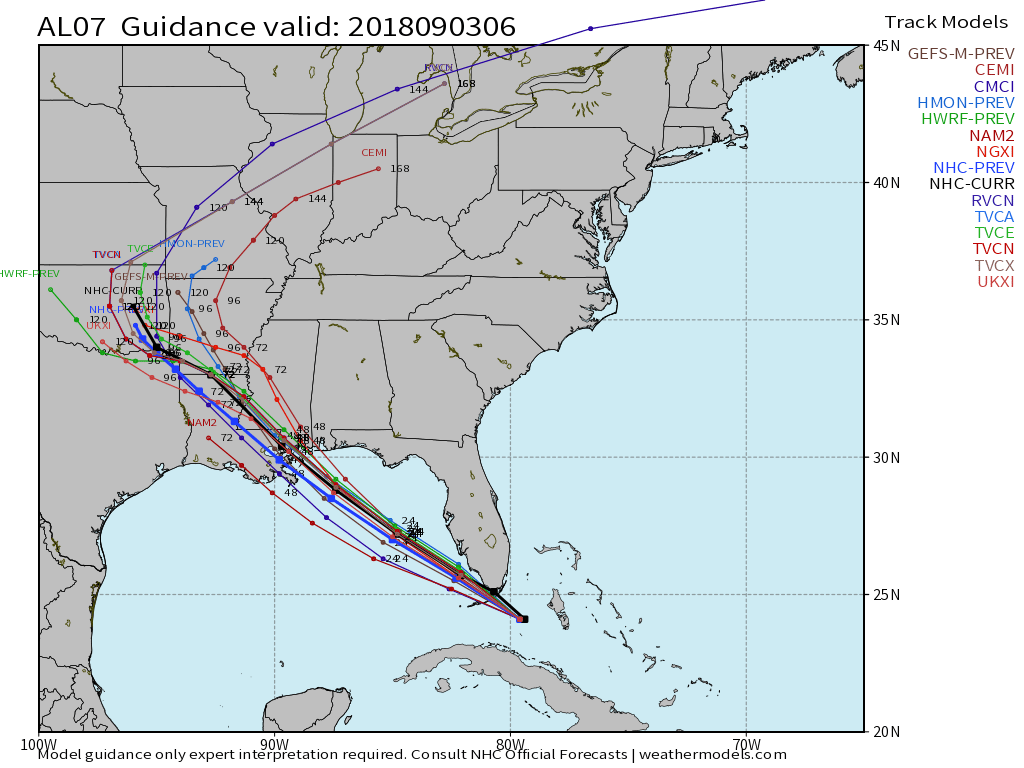
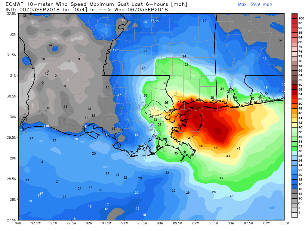
The tropics are heating up with Florence spinning in the Atlantic Ocean and Gordon near the Florida Keys and heading into the Gulf of Mexico. Gordon will move across the Gulf of Mexico and make landfall in the midweek somewhere around New Orleans or southern Mississippi. Gordon will likely be a moderate to strong tropical storm as it moves inland Tuesday night.
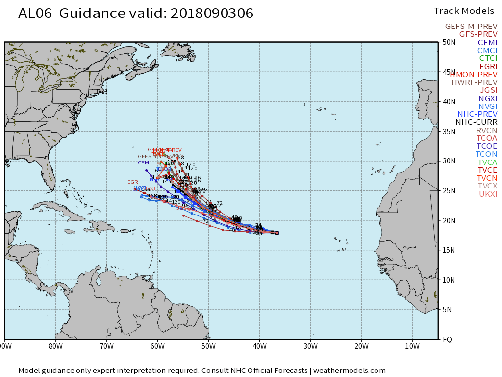
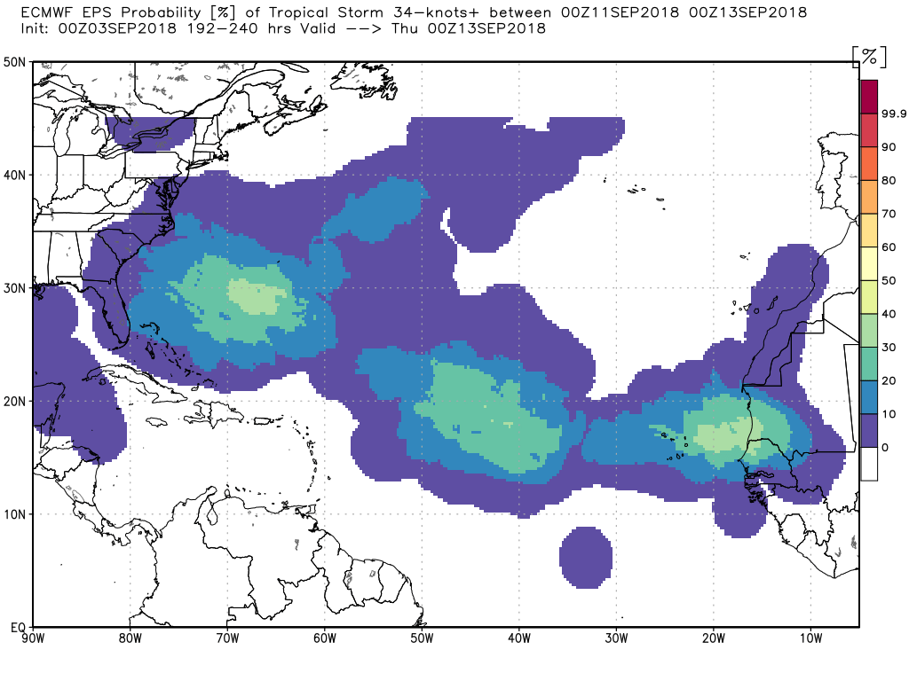
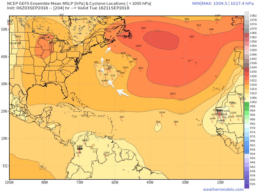
Florence bears watching in the Atlantic Ocean. The storm is no imminent threat to land, but it could take a track farther south than NHC is currently projecting, and if it does not turn north near or before Bermuda, it may threaten part of the East Coast next week. I am favoring a track south of the NHC forecast, is this is a storm to keep an eye on from the Carolinas to New England. The pattern does not looks too favorable for the storm to turn north and head straight into New England, but it may curve northeast and brush by in the middle of next week. The biggest concern I can see at this point is the potential for it to stay on a westward track and hit NC/SC.
