It feels like August again out there this morning. Temperatures and dew points are not far from 70 degrees. There will not be much sunshine today, and the threat of showers and thunderstorms increases during the day. It will feel tropical all day, with dew points close to 70.
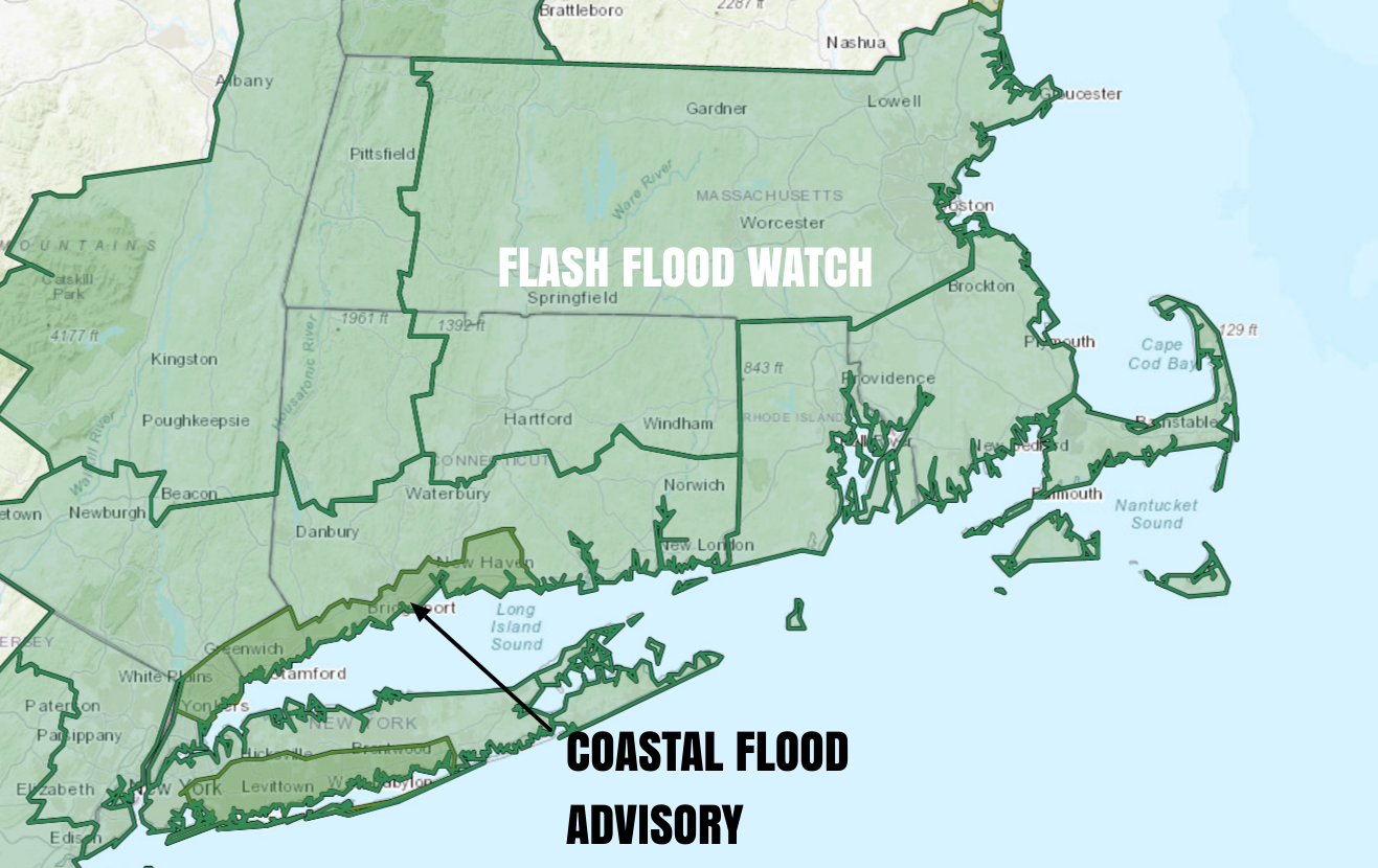
Some of the showers/storms could lead to locally heavy rain and street flooding. I do not expect it to be a widespread problem throughout CT, RI, and E MA, but the National Weather Service has issued a Flash Flood Watch through tonight. A few towns could get 2-3″ of rain, but I think most will see less than an inch between midday Thursday and midday Friday.
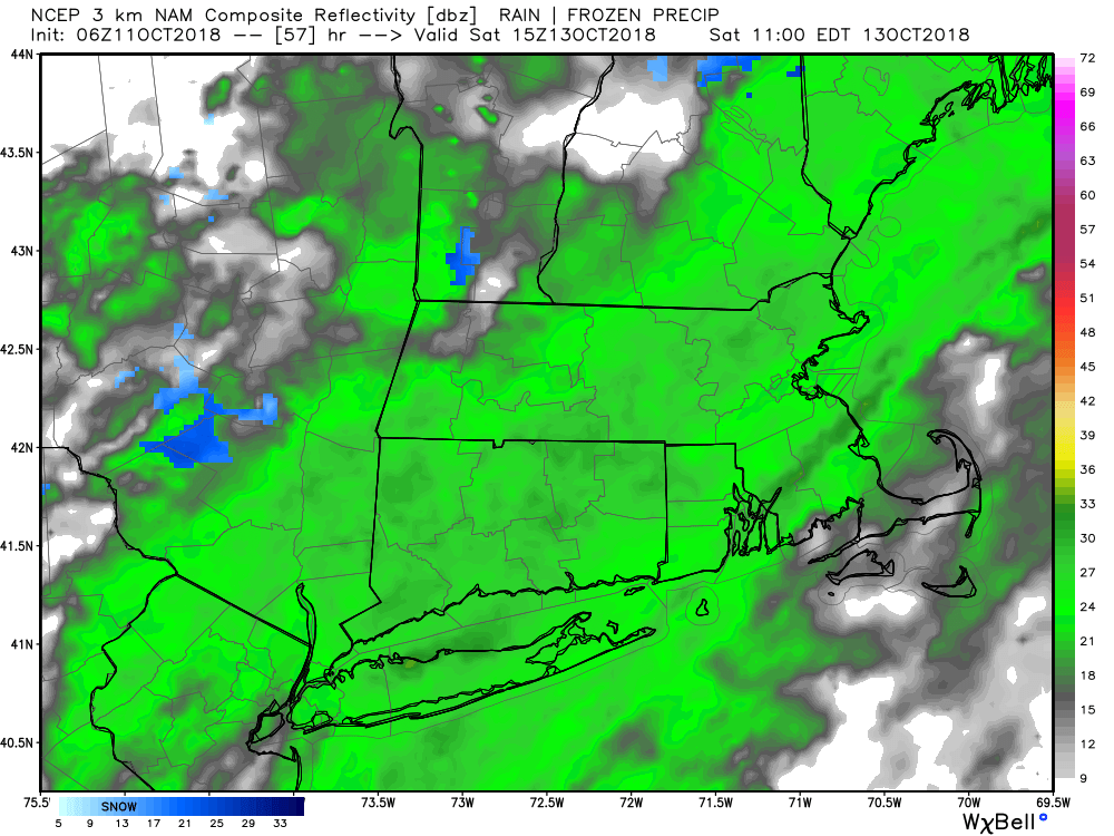
The shower and thunderstorm risk continues overnight, with Tropical Storm Michael scooting by south of New England on Friday morning. The storm will not come close enough to bring gusty winds to New England, but it could enhance the showers along the coast of RI and especially Cape Cod and the islands on Friday morning. For the most part, the weather looks dry away from the coast in CT and RI by mid-morning on Friday. Expect temperatures in the 60s with lower humidity during the afternoon. It will turn much cooler with clearing skies Friday night. Look for lows near 40 on average Saturday morning.
Saturday looks like a dreary and chilly day. Expect lots of clouds, and there will be some showers around. It will be quite chilly, with temps hovering in the mid 40s to low 50s. Saturday night will be dry and very cool, with lows in the 30s inland to low 40s at the coast. It stays in the 50s with brighter skies on Sunday. Expect it to reach the 60s on Monday as clouds thicken and showers threaten late in the day.