Post-tropical Storm Michael is moving out to sea south of New England this morning. The heaviest rain is staying offshore, but showers are likely for coastal CT, all of RI and SE MA until mid to late morning. The rain will end first in Connecticut and last in eastern Massachusetts. Southern RI and Southeastern MA near Buzzards bay will get about an inch of rain, with a chance for 2-3″ on the Cape and Islands.
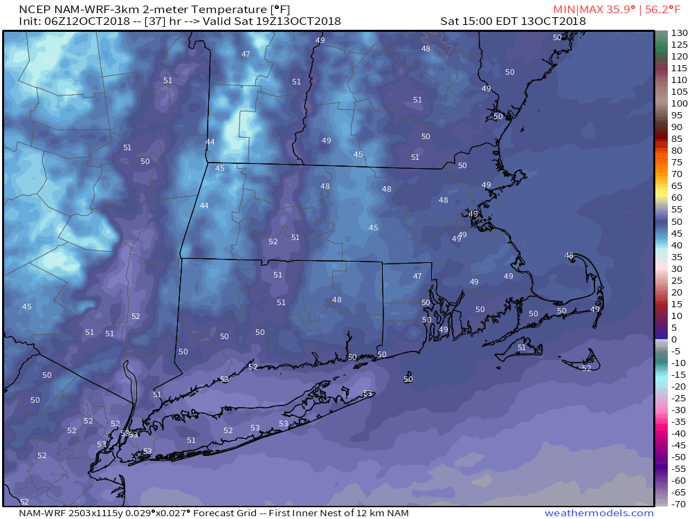
The wind has shifted to the north and it will become gusty this morning into the early afternoon. Expect a 15-25 mph breeze with some 30-35 mph peak gusts possible. With most of the leaves still on the trees, a few downed branches are possible. The temperature will hover in the upper 50s to low 60s this afternoon, with a gradually brightening sky.
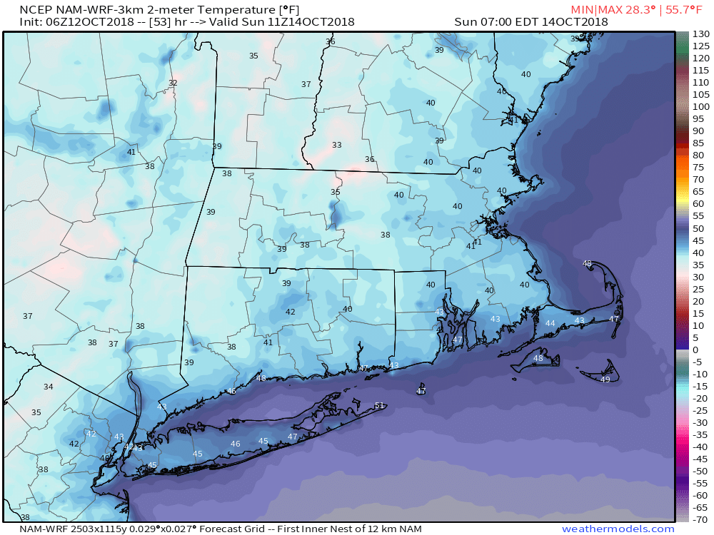
The wind diminishes overnight with skies becoming mainly clear this evening. It will be a seasonably cool night, with lows in the upper 30s to mid 40s. It will probably feel colder because so many nights lately have been unseasonably warm!
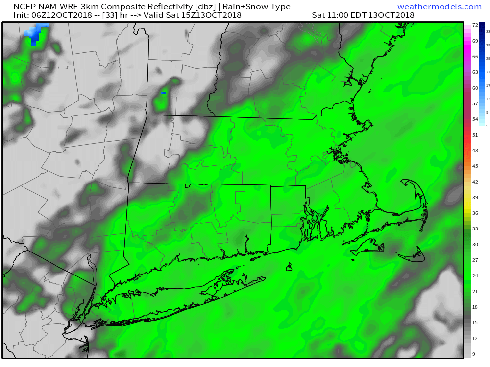
Clouds return late tonight, and a disturbance moving through Southern New England brings chilly rain showers Saturday morning into the midday. Expect temps in the mid 40s with light rain possible as soon as dawn in Connecticut and by 8-9 am in RI. The rain threat ends early in the afternoon, and the temperature may reach the low 50s in the afternoon.
Saturday night will be chilly, with temps dipping into the 30s inland. Patchy frost is possible. It will stay in the low to mid 40s at the coast. Sunday will still be a bit cooler than normal under partly sunny skies. Expect highs between 55-60.
The 60s return on Monday with clouds increasing and showers possible in the afternoon and at night. Tuesday and Wednesday look dry with highs in the mid 50s to low 60s. It may turn colder late in the workweek. Thursday and/or Friday may not make it out of the 40s! If the first frost does not happen inland this weekend, there is a good chance it will happen by the end of next week. From A/C to heat we go!
Have a great day!