Showers are rolling through New England ahead of a cold front tonight. Expect a seasonable chill Tuesday and Wednesday before another shot of even colder weather arrives on Thursday. It may not reach 50° on Thursday – even with some sunshine. It also wouldn’t shock me to see flurries in the NW hills of Connecticut. Friday looks like a typical mid-October day with slightly warmer temps in the mid to upper 50s.
I’m watching some showers for the first half of the weekend. Saturday will not be a washout, but there could be a few showers around (think about the way today was), and Sunday looks blustery and chilly – maybe in the 40s, but feeling like the 30s. The relatively cold weather is here to stay for a while. Expect more chilly weather early next week. We need to keep a close eye on any potential storms for late this month. There’s plenty of unseasonably cold air around, and we’ve seen some pretty wild storms in late October. I’m not saying that there’s an early-season snow storm coming, but it definitely does not look like a warm weather pattern for the next two weeks. There are plenty of years where I can give a firm “no way” to snow in the end of October. This is not one of those years!
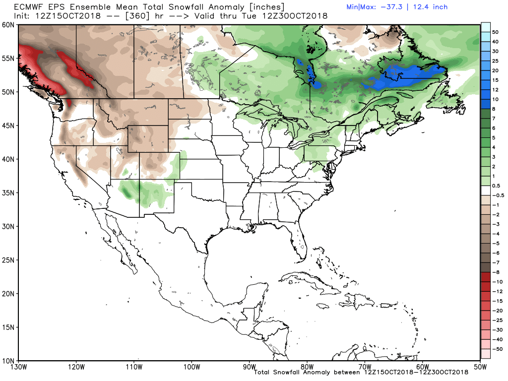
Above normal snow in the interior Northeast in the next two weeks – this model shows no snow for Southern New England


