A few showers are possible Thursday evening as a cold front brings a refreshing change in the weather for the end of the workweek and start of the Columbus Day weekend. The cool-down will not last for very long, and most or all of next workweek will be much warmer than normal for early to mid October.
Expect highs in the upper 50s to low 60s in RI and Eastern MA on Friday. It will be in the low to mid 60s in Connecticut. Skies will be partly cloudy with a noticeable northeast breeze between 10-20 mph. Friday night looks like one of the coolest of the season so far. Lows will be in the low to mid 40s in most towns. A few may see it get into the upper 30s by dawn on Saturday. Expect a nice day on Saturday – sun and clouds, with highs in the low to mid 60s – just about normal.
The warm-up begins on Sunday and may be briefly interrupted with showers and a cooler wind direction on Monday before it reaches the 70s to possibly low 80s again Tuesday through at least Thursday.
Most of next week looks dry with the best chances for showers from Sunday night into Monday, and again late in the workweek.
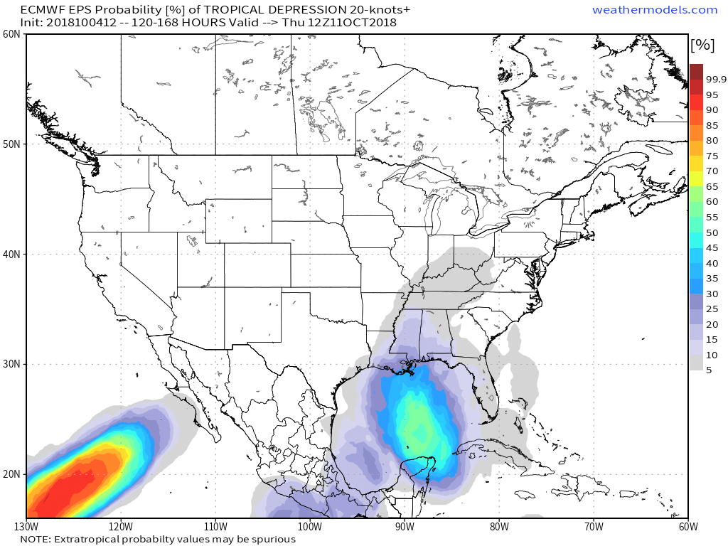
I will be watching the Gulf of Mexico in the next few days as a disturbance moves north. There is a decent chance a tropical system reaches the Gulf of Mexico in the next 3-5 days, and some of the rain could eventually head north into New England if it gets caught in the jet stream.


