Michael is becoming a major hurricane as it approaches the Florida Panhandle. The National Hurricane Center expects winds near 125 mph when it makes landfall on Wednesday near Panama City. Michael will also bring storm surge flooding and flooding rain to the Panhandle as it moves ashore. The storm is likely to move through Georgia and the Carolinas as it weakens to a tropical storm Thursday into Friday. It will most likely shoot out to sea well south of New England with little, if any, direct impact in Southern New England. The front that steers the storm out to sea will bring showers and thunderstorms on Thursday as it approaches. Expect it to stay unseasonably warm and muggy through Thursday before cooler weather arrives for the weekend.
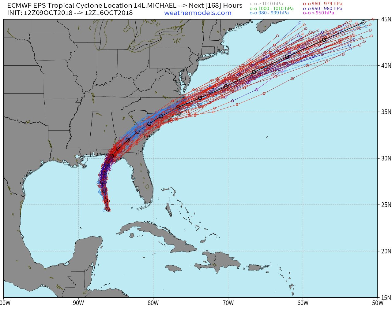
One of the graphics that you will see in the video includes an “ensemble” forecast that shows a few tracks bringing the storm a bit closer to Southern New England. After I cut the video, I had a conversation with the person that creates the graphics, and there is most likely an error in that computer model simulation. This graphic below gives a better representation of what the European computer model prediction system is showing for Michael’s track. The good news is it is further south and out to sea than the projection shown in the video.